
Chott el Djerid, the shimmering salt lake of southern Tunisia
Published on 08/27/2026 at 12:56 | Editorial responsibility: Rafael Müller, Editor-in-Chief AD HOC NEWS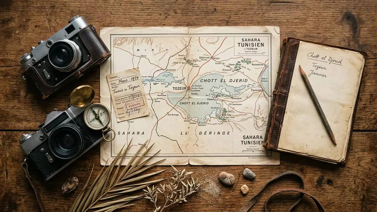
South of the oasis town of Tozeur in Tunisia, Chott el Djerid spreads across the Sahara as a broad salt lake and desert basin whose pale surface seems to merge with the sky. The lake occupies a shallow depression between the oases around Tozeur and the desert region towards Kebili, forming one of North Africa’s most extensive saline landscapes.
A vast Saharan salt basin
Chott el Djerid is a large endorheic salt lake, a closed drainage basin with no outlet to the sea, lying in southern Tunisia between the cities of Tozeur and Kebili.Chott el Djerid is a large endorheic salt lake The basin sits within the Tunisian part of the Sahara, in a zone of chotts that extends towards the Algerian border and the Gulf of Gabes.zone of chotts that extends
The surface of Chott el Djerid forms a wide salt flat, with a crust that ranges from firm, pale panels of salt to patches of soft, clay-rich ground. Over much of the basin the land lies below or close to sea level, creating a shallow, saucer-like form in which water gathers only episodically.land lies below or close to sea level In drier phases, salt crystals and thin films of moisture catch the light and form the shimmering reflections that make the lake so distinctive.
Scale, climate and the science of salt
The basin of Chott el Djerid covers several thousand square kilometres, making it the largest of the Tunisian sebkhas and one of the largest salt flats of the Maghreb.largest of the Tunisian sebkhas Encyclopaedic sources describe a surface area of about 4,900 to 5,360 km², with a length of around 250 km and a width that reaches tens of kilometres in places.surface area of about 4,900 to 5,360 km² The hydrological catchment extends well beyond the visible salt crust, drawing in water from a drainage basin that stretches across central Tunisia.
Geologists place Chott el Djerid within the wider Bas Saharan Artesian Basin, where groundwater emerges in a series of discharge playas along the northern edge of the Sahara.Bas Saharan Artesian Basin The climate here is arid, with low annual rainfall, high temperatures and strong evaporation that concentrates salts on the surface. Over geological timescales, alternating phases of wetter and drier conditions have left layers of evaporite minerals, clay and sand, giving the lake bed its banded, patchwork appearance.
Between Tozeur’s palms and the desert road
Chott el Djerid lies in a region often referred to as the Djerid, an area known for its date-palm oases and long history of settlement around scarce water sources.region often referred to as the Djerid The oasis city of Tozeur, with its palm groves and brick-built old quarters, stands on the north-western edge of the basin, while Nefta and other oases line the margins where fresh water reaches the surface.
A raised road embankment crosses Chott el Djerid, linking Tozeur and the oases to the west with Kebili and the desert routes to the east.raised road embankment crosses Chott el Djerid From this causeway it is possible to see broad expanses of salt crust stretching towards the horizon, broken by darker patches where the surface retains moisture or where clay-rich sediments form low ridges. The contrast between the green fringes of the oases and the pale, open basin is one of the defining impressions of the region.
Visiting Chott el Djerid: what travellers from Western Europe should know
- Chott el Djerid lies in southern Tunisia between Tozeur and Kebili, and is reached along the paved road that crosses the salt basin from the oasis region towards the desert.
- The terrain on and around the lake consists largely of flat salt crust and soft, clay-rich ground, so walking away from established tracks can bring sections where the surface gives way underfoot.
- The surrounding region forms part of the Sahara, with an arid climate and little natural shade on the open salt flats, while the nearby oases provide more sheltered ground with trees and irrigation channels.
- The official language is Arabic and the currency is the Tunisian dinar.
- Entry requirements depend on your nationality; UK travellers can check the FCDO travel advice at gov.uk/foreign-travel-advice, Irish travellers the Department of Foreign Affairs at ireland.ie.
Searching for Chott el Djerid on social platforms
These links open searches for Chott el Djerid on each platform.Frequently asked questions about Chott el Djerid
Where is Chott el Djerid?
Chott el Djerid is in southern Tunisia, between the oasis city of Tozeur and the town of Kebili, within the wider Sahara region.
What can visitors expect to see at Chott el Djerid?
Visitors encounter a broad salt flat with a pale crust, patches of soft ground and a horizon that often appears to shimmer where light reflects off thin films of water.
What makes Chott el Djerid distinctive among Tunisian landscapes?
Its combination of an extensive salt basin, arid Saharan setting and the contrast between green oases and the open, pale lake bed gives the area a character unlike other Tunisian regions.


