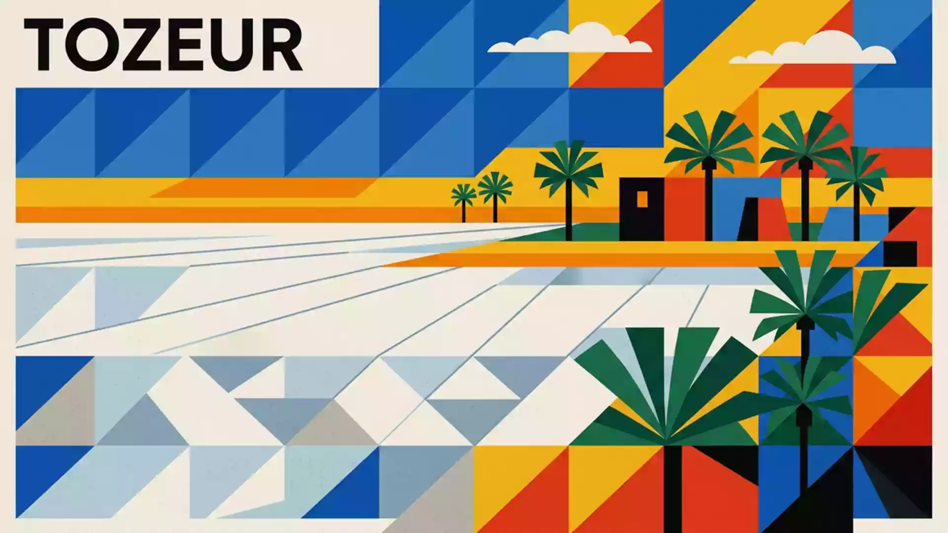
Chott el Djerid, the shifting salt mirror of southern Tunisia
Published on 08/20/2026 at 19:28 | Editorial responsibility: Rafael Müller, Editor-in-Chief AD HOC NEWS
Chott el Djerid in southern Tunisia is a vast Saharan salt basin between Tozeur and Kebili where desert light, mineral crusts and mirage horizons turn a geological depression into a shifting salt mirror.
A Saharan salt lake on a continental scale
Chott el Djerid is a large endorheic salt lake occupying a depression in the south-west of Tunisia, in the transition zone between steppe and desert.large endorheic salt lake It lies between the oasis city of Tozeur to the north-west and Kebili to the south-east, with the Saharan sand seas extending beyond its southern edge.between Tozeur and Kebili The basin forms part of a chain of chotts, or salt flats, that mark the northern fringe of the Sahara and link eastwards towards Chott Fejaj.
In plan, the salt lake stretches for many kilometres, creating one of the most extensive evaporitic landscapes in North Africa.large saline lake Its surface has been measured in the order of several thousand square kilometres, and descriptions consistently place it among the largest salt pans of the Sahara.largest salt lake in the Sahara The chott sits within the wider Bas Saharan Artesian Basin, where deep aquifers discharge saline waters into a series of playas and salt flats.
Layers of salt, clay and sand
The surface of Chott el Djerid is built up from distinct zones of sediment and evaporite minerals, marking the passage from desert margins into the heart of the salt pan.distinct evaporitic zones Around the edges lie sand flats and alluvial fans descending from nearby uplands, dotted in places with sparse vegetation and dry channels that occasionally carry water after rare rains.sandflat and alluvial fringe Moving inward, these margin zones give way to broad mudflats where clays and silts lie beneath a thin coating of salts.
The central part of the depression forms an extensive halite pan, where a brittle salt crust covers saturated clays and sand aquifers charged with saline groundwater.halite pan over clays Surrounding this core, gypsum-rich mudflats mark a transition towards drier evaporitic surfaces and the outer sandflats beyond.gypsum mudflat belts Seasonal water accumulation in the lowest parts of the basin creates shallow pools stained pink or green by algae and mineral concentrations, while large areas remain dry, cracked and patterned by polygonal salt ridges.
Desert roads, mirages and oases at the edge
A straight causeway road crosses Chott el Djerid between the oasis belt around Tozeur in the north-west and the Kebili–Douz region towards the dunes of the Grand Erg Oriental.causeway road between Tozeur and Kebili–Douz Driving along this elevated strip, travellers pass between expanses of salt flats that stretch to the horizon, with the road itself remaining above the most waterlogged zones. On either side, the white mineral surface and intermittent shallow water create conditions for mirages that make distant objects appear as hovering islands or reflections.
The chott is framed by contrasting landscapes that sharpen its character as a salt basin. To the north, palm-filled oases such as Tozeur and Nefta sit where groundwater emerges at the foot of nearby uplands, forming long-established settlements and agricultural belts.oases of Tozeur and Nefta To the south and south-east, the terrain grades into sand seas and dune fields, tying Chott el Djerid visually and geologically to the wider Sahara. The basin itself has been proposed for inscription on the UNESCO World Heritage List, with a tentative listing highlighting its extent, its position between the Cherb mountain chain and the desert, and its role in the sequence of northern Saharan depressions.UNESCO tentative listing
Visiting Chott el Djerid: what travellers from Western Europe should know
- Chott el Djerid lies in south-western Tunisia between Tozeur and Kebili, and is commonly reached from the oasis towns around Tozeur or from the road corridor towards Douz.
- The basin is largely flat, with long stretches of exposed salt crust and mudflats; away from the causeway, surfaces can be soft, uneven and difficult to cross on foot or by vehicle.
- The surrounding region experiences marked seasonal temperature differences typical of the Saharan fringe, and clear skies frequently emphasise the strong brightness of the salt surfaces.
- The official language is Arabic and the currency is the Tunisian dinar.
- Entry requirements depend on your nationality; UK travellers can check the FCDO travel advice at gov.uk/foreign-travel-advice, Irish travellers the Department of Foreign Affairs at ireland.ie.
Searching for Chott el Djerid on social platforms
These links open searches for Chott el Djerid on each platform.
Frequently asked questions about Chott el Djerid
Where is Chott el Djerid located in Tunisia?
It lies in south-western Tunisia between the oasis city of Tozeur and Kebili, within a broad Saharan depression shared by the Tozeur and Kebili governorates.
What can travellers expect to see on a visit?
Travellers encounter extensive salt flats, mudflats and occasional shallow water, crossed by a straight causeway road, with mirage-filled horizons and nearby palm oases at the basin’s margins.
What makes Chott el Djerid distinctive among Saharan landscapes?
Its scale as one of the largest Saharan salt pans, the layered evaporite zones of halite and gypsum, and the contrast between white mineral surfaces, surrounding dunes and oasis belts make it distinctive.