
Chocolate Hills and the cone-karst landscape of Bohol
Published on 08/19/2026 at 19:55 | Editorial responsibility: Rafael Müller, Editor-in-Chief AD HOC NEWS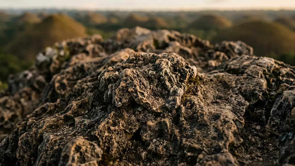
Chocolate Hills in Bohol are a wide field of grass-covered limestone mounds, spread across a landscape that rises and falls in long, rounded lines. The name belongs to a geological formation in the Philippine province of Bohol, and the hills were declared a National Geological Monument on 18 June 1988.National Geological Monument
Chocolate Hills in Bohol’s karst interior
The hills sit in the towns of Carmen, Batuan and Sagbayan, with related areas extending into nearby parts of the island. UNESCO’s tentative listing places the monument in a zone of relatively flat to rolling topography, with heights ranging from 100 m to 500 m above sea level.relatively flat to rolling topography
Seen from a distance, the individual hills repeat the same general logic: isolated, conical forms with softened outlines rather than sharp ridges. The Bohol Island Geopark describes them as smooth, uniformly shaped cones, and places their formation in a limestone landscape that was raised, fractured and worn down by water.smooth, uniformly shaped
How the hills took their present form
The geology is the chief attraction here. The landscape rests on marine limestone that dates to the Pliocene, about 2 to 5 million years ago, when coral-rich deposits accumulated before uplift and erosion shaped them into the hills seen across Bohol.Pliocene
That sequence gives the site its striking consistency. The hills are part of cone karst, a karst landscape made up of many isolated mounds, and the broader form is one of the most recognisable geological scenes in the Philippines.cone karst
A monument, not a single viewpoint
Chocolate Hills is not one hill, but a field of mounds that stretches across a sizeable part of the island. UNESCO’s description gives a figure of about 1,776 mounds, while another recent source gives 1,268 conical hills; the landscape itself makes clear that counting here is less useful than seeing the repetition.about 1,776 mounds
The hills also shift in appearance with the seasons. In the dry period, the grass turns brown and the name Chocolate Hills follows from that colour change, which gives the site its familiar profile across Bohol.grass turns brown
Visiting Chocolate Hills: what travellers from Western Europe should know
- The hills lie in central Bohol, in and around Carmen, Batuan and Sagbayan. Road access reaches the broader area from Bohol’s towns and provincial routes.
- The terrain is made of rounded limestone mounds and rolling ground. Paths and viewpoints in the area involve height changes rather than level ground.
- The official language is Filipino and the currency is the Philippine peso.
- Entry requirements depend on your nationality; UK travellers can check the FCDO travel advice at gov.uk/foreign-travel-advice, Irish travellers the Department of Foreign Affairs at ireland.ie.
Searching for Chocolate Hills on social platforms
These links open searches for Chocolate Hills on each platform.
Frequently asked questions about Chocolate Hills
Where are the Chocolate Hills?
They are on Bohol in the Philippines, mainly across the towns of Carmen, Batuan and Sagbayan. The site is part of a limestone landscape in the island’s central interior.
What does a visit involve?
The area is a landscape of hills and rolling ground rather than a single enclosed monument. Expect a place where elevation changes and wide views matter more than architecture.
What makes Chocolate Hills distinctive?
The hills are conical limestone mounds spread across a broad area of Bohol. Their brown dry-season colour and repeated forms give the place its name and its recognisable character.


