
Cap de Formentor, where Mallorca’s mountains meet the sea
Published on 08/23/2026 at 07:39 | Editorial responsibility: Rafael Müller, Editor-in-Chief AD HOC NEWS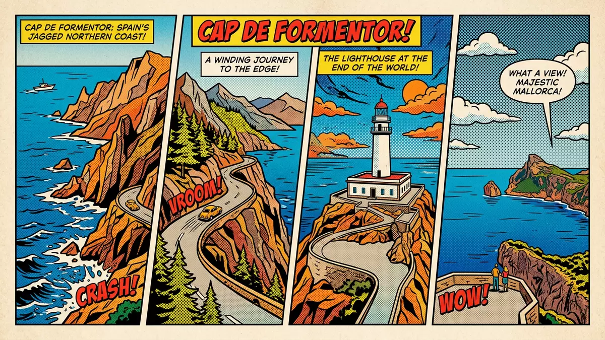
On the northern tip of Mallorca, Cap de Formentor forms a dramatic meeting point between the Serra de Tramuntana and the Mediterranean Sea. The headland marks the northernmost point of the island and carries a 19th?century lighthouse, Faro de Formentor, above steep limestone cliffs.
The end of the Formentor peninsula
Cap de Formentor sits at the extremity of the Formentor peninsula in the municipality of Pollença, forming the island’s northern limit and closing the Bay of Pollença on its seaward side.northernmost point of Mallorca The peninsula stretches out from the main mass of Mallorca as a long, narrow spur where the last ridges of the Serra de Tramuntana continue into the sea.Serra de Tramuntana meets the Mediterranean
Locals refer to this peninsula as a meeting point of winds, and the coast around Cap de Formentor reflects that reputation in its bare rock slopes and sparse vegetation. The highest point on the headland, Fumat, rises to 384 m (1,260 ft) above sea level, giving the ridge a noticeable relief above the surrounding water.Fumat at 384 m From the approach road, the landscape alternates between sheltered coves such as Cala Murta and more exposed stretches where the cliffs fall directly into the sea.
Lighthouse and road above the cliffs
Faro de Formentor stands near the tip of the peninsula as a white tower raised above the rocky promontory, reached by a winding road that climbs through the mountains from Port de Pollença.white lighthouse on a promontory The lighthouse structure dates back to a project initiated in 1857, part of a wider programme of coastal beacons around Mallorca designed to guide ships along the northern shore.construction began in 1857 Its platform offers broad views across the Mediterranean and towards neighbouring parts of the Balearic Islands on clear days.
The access road, known as the Ma?2210, follows the crest and flanks of the peninsula with a sequence of bends, short tunnels and viewpoints. Mirador Es Colomer is one of the first major viewpoints, set above a detached rock stack and looking back along the coast towards Port de Pollença. Farther along, the route passes turn?offs towards beach areas such as Platja de Formentor, where sand and pine trees line a sheltered bay. For travellers, the combination of engineering and landscape makes the drive itself part of the experience, with the carriageway often running close to the cliff edge and bridges crossing narrow gullies between ridges.
Cliffs, coves and protected coastline
The coastline around Cap de Formentor is dominated by limestone cliffs that rise sharply from the water, cut through by small coves and inlets. Cala Murta and Cala Figuera lie on the sheltered side of the peninsula, tucked below the ridges and reached by footpaths from the road.Cala Murta and Cala Pi de la Posada On the outer side, the cliffs face directly into the open sea, with ledges and buttresses visible from the viewpoints and from boats offshore.northern tip landscape
The broader Formentor area includes Platja de Formentor, a sandy beach often described for its pale sand and clear water under a line of pine trees.Playa Formentor under the pines Inland from the beach, the slopes carry Mediterranean scrub and pockets of forest, while the ridges above remain relatively bare. The area forms part of a wider protected landscape along the Serra de Tramuntana, a mountain chain recognised by UNESCO for its cultural and natural value, and Cap de Formentor represents its final contact with the sea.
Visiting Cap de Formentor: what travellers from Western Europe should know
- Cap de Formentor lies on the Formentor peninsula in the municipality of Pollença, on Mallorca’s northern tip. It is reached by the Ma?2210 road from Port de Pollença and by bus routes that serve the lighthouse and Platja de Formentor.
- The terrain around the cape is mountainous, with steep roadside slopes and exposed sections near the cliff edge. Footpaths to viewpoints and coves cross uneven rock and require sure footing on sometimes narrow tracks.
- Platja de Formentor sits on the sheltered side of the peninsula beneath pine trees, with the mountains rising directly behind the beach and the lighthouse occupying a rocky headland farther along the coast.
- Cap de Formentor is in Spain, where the official language is Spanish and the currency is the euro.
Searching for Cap de Formentor on social platforms
These links open searches for Cap de Formentor on each platform.
Frequently asked questions about Cap de Formentor
Where is Cap de Formentor on Mallorca?
Cap de Formentor is at the northern tip of Mallorca on the Formentor peninsula in the municipality of Pollença, forming the island’s most northerly point.
What should travellers expect on a visit to Cap de Formentor?
Travellers encounter a mountain road with bends and viewpoints, steep limestone cliffs, a headland lighthouse and access to coves and the beach at Platja de Formentor.
What makes Cap de Formentor distinctive among Mallorca’s coasts?
Cap de Formentor combines the last ridges of the Serra de Tramuntana with sheer sea cliffs, a historic lighthouse and a sheltered pine?backed beach within the same compact peninsula.


