
Cap de Formentor and the road to Mallorca’s northern tip
Published on 09/17/2026 at 22:08 | Editorial responsibility: Rafael Müller, Editor-in-Chief AD HOC NEWS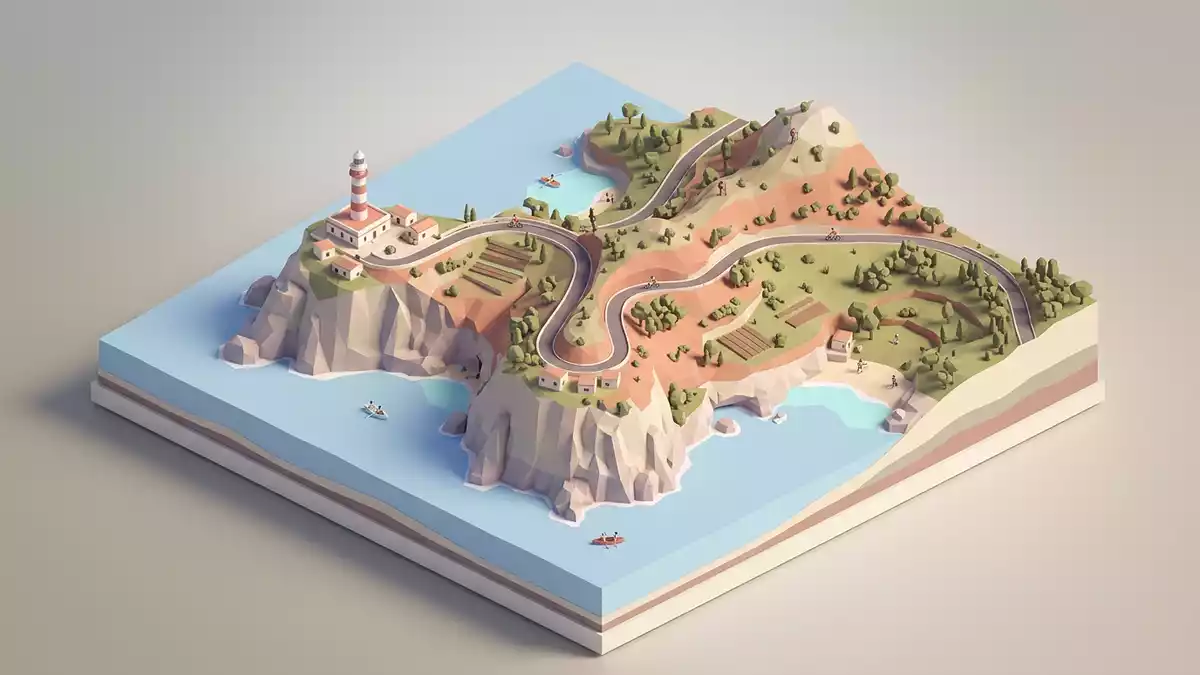
Cap de Formentor is Mallorca’s northernmost point, a rocky headland above the Formentor peninsula in the Balearic Islands. The name belongs to a place of edges: cliff, road, bays and lighthouse.
Cap de Formentor at Mallorca’s northern edge
The cape sits at the far end of Mallorca’s Serra de Tramuntana, where the land narrows into a headland above the sea. Its highest point, Fumat, rises to 384 m (1,260 ft), and the coast breaks into bays such as Cala Murta and Cala Pi de la Posadanorthernmost point of Mallorca.
The lighthouse adds a clear landmark to the promontory. It opened in 1863 and stands on the cape’s exposed edge, where the headland meets open waterFormentor Lighthouse.
The road that follows the peninsula
One of the most distinctive features of Cap de Formentor is the road from Port de Pollença. Antonio Parietti built the route in 1925, and it remains the direct land approach to the capeAntonio Parietti.
The drive runs along a narrow peninsula, with bends, exposed sections and long views to either side. It links the mainland side of the island to the lighthouse at the tip, and the road itself is part of the place’s identityMa-2210 road.
Cliff, light and sea at the tip
At the end of the peninsula, the landscape becomes a study in height and distance. The cape, the lighthouse and the bays below form the essential composition, with the sea visible on several sidescap situat a l’extrem.
Cap de Formentor is tied to the wider geography of the Serra de Tramuntana and the northern coast of Mallorca. Miquel Costa i Llobera’s presence in the place’s history adds a literary layer to the landscape, alongside the engineering of the lighthouse and roadMiquel Costa i Llobera.
Visiting Cap de Formentor: what travellers from Western Europe should know
- Cap de Formentor lies on Mallorca’s northern tip, reached by the Ma-2210 from Port de Pollença. The same road continues to the lighthouse at the end of the peninsula.
- The terrain is all cliff, bends and exposed headland. Fumat, the highest point on the cape, rises to 384 m (1,260 ft).
- The lighthouse is a fixed landmark in white stone and tower form. It dates from 1863 and sits on the outer edge of the cape.
- The official language is Spanish and the currency is the euro.
- Entry requirements depend on your nationality; UK travellers can check the FCDO travel advice at gov.uk/foreign-travel-advice, Irish travellers the Department of Foreign Affairs at ireland.ie.
Searching for Cap de Formentor on social platforms
These links open searches for Cap de Formentor on each platform.
Frequently asked questions about Cap de Formentor
Where is Cap de Formentor?
Cap de Formentor is the northernmost point of Mallorca, on the Formentor peninsula in the Balearic Islands. It belongs to the municipality of Pollença.
What does a visit involve?
The visit centres on the road, the headland and the lighthouse at the tip. The setting is defined by bends, cliffs and the open coastal edge.
What makes Cap de Formentor distinctive?
Its appeal lies in the combination of a narrow peninsula, an 1863 lighthouse and a road built by Antonio Parietti. The cape’s edge-facing geography gives it a strong, recognisable outline.


