
Canyonlands National Park and the meeting of stone and rivers
Published on 09/03/2026 at 14:48 | Editorial responsibility: Rafael Müller, Editor-in-Chief AD HOC NEWS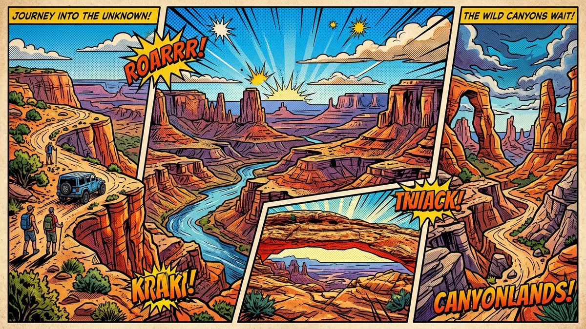
Canyonlands National Park lies in south-eastern Utah, south of Moab, where the Colorado River and Green River meet and cut deep canyons into the Colorado Plateau. Established as a national park on 12 September 1964, it protects a broad landscape of mesas, cliffs and sculpted sandstone shaped over millions of years by water and wind.established on 12 September 1964
Where rivers carve districts into the Colorado Plateau
The defining physical feature of Canyonlands National Park is the way the Colorado River and Green River join within its boundaries and divide most of the protected area into three main land districts. The northern and central portion forms Island in the Sky, a broad, level sandstone mesa set between the two rivers, its edges cut into cliffs and benches stepping down towards the water.Island in the Sky mesa South of Island in the Sky, on the east side of the Colorado River, lies the Needles District, named for tall red and light-coloured pinnacles sculpted from Cedar Mesa Sandstone that rise above deep canyons.Cedar Mesa Sandstone pinnacles
West of the Colorado and Green rivers, beyond their confluence, the Maze District forms a far more intricate system of canyons, fins and buttes, where sandstone, shale and limestone layers create a labyrinthine topography. While all three districts belong to the same park, they are separated by the deep cuts of the river canyons and reached by different access routes, giving each area its own character and sense of scale.Maze District canyons and buttes
Layers of stone: Cedar Mesa, White Rim and Navajo
Canyonlands National Park sits on the Colorado Plateau, and its cliffs and slopes expose a long sequence of sedimentary rock laid down between roughly the Pennsylvanian and Jurassic periods. This means the rocks visible range in age from about 300 million to 175 million years, recording around 125 million years of geological history in stacked bands of sandstone, shale and limestone.Pennsylvanian to Jurassic rocks In Island in the Sky, relatively hard layers such as the White Rim Sandstone form flat benches rimmed by vertical cliffs that stand out between softer rocks eroded into gentler slopes.White Rim Sandstone benches
Near the bottoms of the deeper canyons just above river level, the Honaker Trail Formation appears as limestones and other sediments, while the mesa tops in Island in the Sky are capped in places by Navajo Sandstone, a well-known Jurassic sandstone of the region.Honaker Trail and Navajo Sandstone In the Needles and Maze districts, Cedar Mesa Sandstone dominates the landscape, its banded red and white layers eroded into domes, spires and divided slickrock surfaces. Together, these formations help define the park’s major viewpoints, side canyons and arches.
Island in the Sky, the Needles and the Maze in experience
Island in the Sky feels like a stone balcony above a branching system of canyons, with its level top ending in abrupt rims that look across the junction of cliffs, terraces and river corridors. From these edges, the drop to the Colorado and Green rivers reveals a stack of sedimentary layers, giving a visual impression of how the plateau has been dissected by water over geological time.stacked sedimentary layers South-east in the Needles District, the dominant experience is of moving among bands of sandstone that rise as narrow towers and thicker pinnacles, separated by canyons and grabens formed where faulting has dropped some blocks of rock relative to others.Needles pinnacles and grabens
Further west, the Maze District is defined by its complexity: interlocking canyons set among sandstone fins and isolated buttes, with a mix of sandstone, shale and limestone creating differing colours and erosion forms across short distances.Maze District geology Across all districts, the park’s terrain reveals the interaction of rock strength, jointing and river incision, presenting a landscape in which the underlying geology is visible in every cliff line and eroded surface.
Visiting Canyonlands National Park: what travellers from Western Europe should know
- Canyonlands National Park lies in south-eastern Utah, with Moab as the nearest sizeable town; Island in the Sky is reached by road north-west of Moab.
- The terrain in Canyonlands includes mesa tops ending in cliff edges, canyon viewpoints with protective barriers, and side routes that cross uneven sandstone and exposed slickrock.
- The Colorado River and Green River run at the bottoms of deep canyons, and the difference in elevation between mesa rims and river level is significant.
- Canyonlands sits within the desert country of the Colorado Plateau, where large areas are without shade and surfaces reflect heat and light.
- The official language is English and the currency is the United States dollar; entry requirements depend on your nationality; UK travellers can check the FCDO travel advice at gov.uk/foreign-travel-advice, Irish travellers the Department of Foreign Affairs at ireland.ie.
Searching for Canyonlands National Park on social platforms
These links open searches for Canyonlands National Park on each platform.
Frequently asked questions about Canyonlands National Park
Where is Canyonlands National Park in relation to Moab?
Canyonlands National Park is in south-eastern Utah, with its Island in the Sky district lying south-west of the town of Moab and reached by road from there.
What kind of landscape should visitors expect in Canyonlands?
Visitors encounter mesa tops ending in high cliff rims, deeply incised canyons cut by the Colorado and Green rivers, and districts of sandstone pinnacles, domes and complex canyon systems.
What makes Canyonlands National Park distinctive among parks of the Colorado Plateau?
Canyonlands is distinctive for the way the Colorado and Green rivers meet within the park and divide its landscape into Island in the Sky, the Needles and the Maze, each exposing long sequences of plateau rocks.


