
Canyon de Chelly’s sandstone corridors near Chinle
Published on 08/21/2026 at 15:04 | Editorial responsibility: Rafael Müller, Editor-in-Chief AD HOC NEWS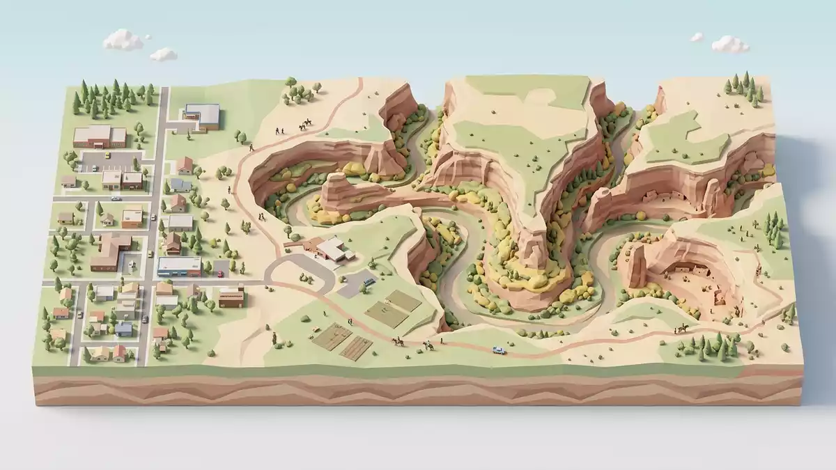
In northeastern Arizona near Chinle, Canyon de Chelly cuts a series of deep sandstone corridors into the Defiance Plateau, combining striking geology with a long history of habitation by Navajo families and earlier peoples dating back thousands of years.
Sandstone walls and the shape of the canyon
Canyon de Chelly National Monument lies on Navajo trust land on the outskirts of Chinle in Apache County, on the Colorado Plateau.Navajo trust land The canyons slice through the Defiance Plateau, exposing high cliffs of De Chelly Sandstone in pale red and orange tones above older rock layers that appear as darker bands closer to the canyon floor.De Chelly Sandstone cliffs
The principal canyons branch away from Chinle Wash, creating corridors that twist and turn in plan, reflecting the meanders of streams that flowed across a flatter surface before uplift of the Defiance Plateau reshaped the landscape.twists and turns Close to the rim, a thin cap of Shinarump Conglomerate forms a harder layer above the sandstone, while lower slopes expose formations such as the Supai and Organ Rock units in places, giving the canyon walls a layered appearance with varying colours and textures.Supai and Shinarump formations
Geologic story over hundreds of millions of years
The rock record in Canyon de Chelly spans more than 200 million years of geologic history, beginning with deposition of the Supai Formation in the Pennsylvanian and early Permian periods and ending with Triassic strata in the Chinle Formation.Pennsylvanian and Triassic record The Supai layers, composed of maroon-coloured sandstone, siltstone and mudstone, indicate conditions with water and vegetation, while the overlying De Chelly Sandstone records a later shift to arid desert, when dunes accumulated and later hardened into the massive sandstone seen in the canyon walls.maroon Supai and dune sandstone
The Chinle Formation, represented at Canyon de Chelly by the Shinarump Conglomerate and related units, adds stream-deposited gravels and finer sediments laid down during the Triassic period, containing pebbles of sandstone, quartz, basalt, chert, quartzite and pieces of petrified wood.Chinle Formation gravels Subsequent regional uplift associated with structures such as the Defiance Uplift increased stream gradients, and water flowing from nearby uplands carved the present canyons by cutting down through the layered rocks along pre-existing channels.
Human presence and cliff dwellings
Beyond geology, Canyon de Chelly National Monument preserves one of the longest continually inhabited American Indian communities in the United States, with human history in the area dating back at least 5,000 years.5,000 years of habitation The site contains cliff dwellings and other archaeological remains associated with Ancestral Puebloan cultures, as well as later structures and farming areas connected to Navajo families who continue to live and work in parts of the canyon.
Canyon de Chelly National Monument was established on 14 February 1931, recognising both the dramatic sandstone landscape and the long record of Indigenous occupation.established in 1931 The monument is managed in cooperation with the Navajo Nation, and its designation helps protect archaeological sites, traditional agricultural fields on the canyon floor and the broader setting of Navajo trust land around Chinle.
Visiting Canyon de Chelly: what travellers from Western Europe should know
- Canyon de Chelly National Monument sits east of Chinle in northeastern Arizona; the recommended road approach uses Highway 191 and Indian Route 7 to reach the park entrance.
- The canyon rims are reached by paved roads with overlooks above steep sandstone walls, while access to the canyon floor involves routes where visitors share space with working agricultural land and residential areas.
- The surrounding terrain forms part of the high Colorado Plateau, so rim viewpoints stand at a considerable elevation and exposed sections can feel remote from major towns.
- The official language is English and the currency is the United States dollar.
- Entry requirements depend on your nationality; UK travellers can check the FCDO travel advice at gov.uk/foreign-travel-advice, Irish travellers the Department of Foreign Affairs at ireland.ie.
Searching for Canyon de Chelly on social platforms
These links open searches for Canyon de Chelly on each platform.
Frequently asked questions about Canyon de Chelly
Where is Canyon de Chelly and what kind of place is it?
Canyon de Chelly National Monument is on Navajo trust land near Chinle in Apache County, northeastern Arizona, and combines deep sandstone canyons with long-term Indigenous habitation.
What should visitors expect on a first visit?
Visitors encounter high sandstone walls, overlooks on rim roads and a canyon floor that includes agricultural areas and homes, reflecting the monument’s role as a lived-in landscape.
What makes Canyon de Chelly distinctive among Southwestern canyon sites?
The combination of Permian and Triassic rock formations, twisting corridors cut into the Defiance Plateau and at least 5,000 years of continuous Indigenous presence makes Canyon de Chelly distinctive within the broader Colorado Plateau region.


