

Canon del Sumidero and the towering gorge of Chiapa de Corzo
Published on 08/27/2026 at 07:47 | Editorial responsibility: Rafael Müller, Editor-in-Chief AD HOC NEWS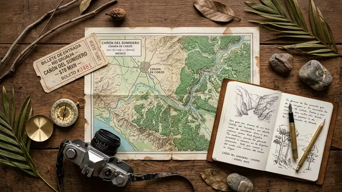
Canon del Sumidero, known locally as Cañón del Sumidero, is a steep river gorge in the state of Chiapas in southern Mexico, just north of Chiapa de Corzo. The Grijalva River runs through the canyon, which forms the core of Canon del Sumidero National Park, a protected landscape where rock walls rise high above the water and forested slopes frame the river corridor.
A river canyon carved into the Chiapas highlands
Canon del Sumidero is a deep, narrow gorge cut into the mountains a short distance from the Chiapas state capital, Tuxtla Gutiérrez. The canyon extends for roughly several tens of kilometres along the course of the Grijalva River, creating a long corridor where the river flows between near-vertical rock faces.deep gorge extending along the Grijalva River In places the cliffs rise to around 1,000 m (3,281 ft), giving the gorge a dramatic sense of height and enclosing the river in a narrow rock trench.walls that can be as high as 1,000 metres
The canyon lies within Canon del Sumidero National Park, a protected area that covers about 215 km² (83 sq mi) across several municipalities in Chiapas.park is centered around the stunning Sumidero Canyon The park status recognises both the geological significance of the canyon and the ecological value of its forests and river habitats. The Grijalva River has carved the gorge over thousands of years, cutting down through chalk and basalt rock to form steep walls and a winding channel.chalk and basalt rockwalls up to 1000 meters in height
National park, Ramsar wetland and hydroelectric reservoir
Canon del Sumidero was designated as a national park in 1980, placing the canyon and surrounding forests under federal protection. The protected area is also recognised as a Ramsar wetland site, with an area of 21,789 ha listed under the international convention for wetlands of importance.Parque Nacional Cañón del Sumidero 21,789 ha This dual status reflects both the geological scale of the gorge and the variety of habitats along the Grijalva River.
The northern end of the canyon is partially flooded by the reservoir of the Manuel Moreno Torres hydroelectric dam, better known as Chicoasén Dam, completed in 1981.Chicoasén hydroelectric dam completed in 1981 The river journey through the gorge runs from the embarkation points near Chiapa de Corzo along the reservoir towards the dam, with the steep walls lining much of the route.distance from Chiapa de Corzo to the hydroelectric dam The combination of high cliffs, wide water and forested slopes gives Canon del Sumidero a distinctive profile among Mexico’s river canyons.
Experiencing Canon del Sumidero from river and rim
Chiapa de Corzo serves as a main gateway to Canon del Sumidero, with boat docks on the Grijalva River offering motorboat trips into the gorge.primary way to experience the canyon is by lancha from Chiapa de Corzo From the river, travellers pass beneath towering rock walls and can see sheer cliffs, patches of vegetation clinging to ledges and occasional small waterfalls entering the gorge. The sense of enclosure is particularly marked where the canyon narrows and the walls rise almost straight from the water.
An alternative perspective comes from the canyon rim viewpoints, reached by road from Tuxtla Gutiérrez. A series of miradores look down into the gorge, giving broad views of the river winding between the cliffs and the surrounding highlands.walls which reach more than 1000 meters in height From these vantage points the scale of Canon del Sumidero becomes clear, with the narrow river far below and the plateau landscape stretching away beyond the canyon edges.
Visiting Canon del Sumidero: what travellers from Western Europe should know
- Canon del Sumidero lies just north of Chiapa de Corzo in Chiapas, Mexico, with Tuxtla Gutiérrez nearby; river trips generally depart from embarkation points on the Grijalva River close to Chiapa de Corzo.
- The terrain of the gorge features steep rock walls and a river corridor; visiting viewpoints involves travelling by road to elevated miradores, while boat trips place travellers at water level within the canyon.
- Canon del Sumidero forms part of Canon del Sumidero National Park in southern Mexico; the official language is Spanish and the currency is the Mexican peso.
- Entry requirements depend on your nationality; UK travellers can check the FCDO travel advice at gov.uk/foreign-travel-advice, Irish travellers the Department of Foreign Affairs at ireland.ie.
Searching for Canon del Sumidero on social platforms
These links open searches for Canon del Sumidero on each platform.Frequently asked questions about Canon del Sumidero
Where is Canon del Sumidero located?
Canon del Sumidero is in the state of Chiapas in southern Mexico, just north of the town of Chiapa de Corzo and a short distance from Tuxtla Gutiérrez.
What should travellers expect on a visit?
Travellers encounter a steep river gorge with high rock walls, boat trips along the Grijalva River from Chiapa de Corzo and road-accessible viewpoints on the canyon rim.
What makes Canon del Sumidero distinctive?
The combination of narrow river corridor, cliffs reaching around 1,000 m (3,281 ft) in height and its status as a national park and Ramsar wetland gives Canon del Sumidero a striking character.


