
Canal de Panama: an engineered passage between two oceans
Published on 09/16/2026 at 07:46 | Editorial responsibility: Rafael Müller, Editor-in-Chief AD HOC NEWS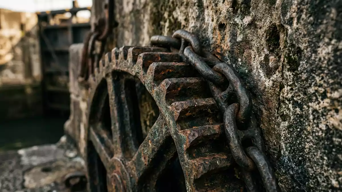
Stretching across Panama’s narrow isthmus, the Canal de Panama is an engineered waterway that links the Atlantic and Pacific oceans and sits within reach of Panama-Stadt on the Pacific side. Opened in 1914 after a long and difficult construction history involving French and later United States interests, it remains one of the most striking examples of large-scale infrastructure intersecting with tropical landscape and global trade routes.
From idea to completed canal
The concept of a passage across the Isthmus of Panama dates back to the early sixteenth century, when Vasco Núñez de Balboa crossed the land bridge between the oceans and highlighted its strategic position for maritime travel.Isthmus of Panama Centuries later, interest in a canal intensified as shipping expanded and the long detour around South America’s Cape Horn remained both hazardous and time consuming.detour around Cape Horn
Work on a canal began under French leadership in 1881, headed by Ferdinand de Lesseps, known for his role with the Suez Canal project.Ferdinand de Lesseps The French attempt encountered major technical, financial and health challenges and halted by the late 1880s. The United States took over canal construction in 1904 and oversaw completion of the waterway, with the canal officially opening to traffic on 15 August 1914 and marking a significant moment in twentieth-century engineering.opened on 15 August 1914
Locks, lakes and the route across Panama
The Canal de Panama is an artificial waterway that cuts across the isthmus from the Caribbean Sea side near Colón to the Pacific side near Panama-Stadt, spanning roughly 80 km (about 50 mi) along its shipping route.artificial waterway Rather than a simple sea-level channel, it relies on a system of locks and dammed lakes to lift and lower ships as they cross the interior. On the Atlantic side, locks raise vessels from sea level up to Gatun Lake, while on the Pacific side further locks lower ships back towards the ocean after they traverse the central section.
At the heart of the route lies the Gaillard Cut, a channel driven through hilly terrain to connect Gatun Lake with the Pacific lock complexes and to cross the Continental Divide.Gaillard Cut The locks themselves consist of large chambers with massive gates, creating stepped changes in water level under controlled conditions. Around these structures, service buildings, control towers and maintenance yards form an industrial landscape, while stretches of the canal run through rainforest and over dammed river valleys, giving the waterway a mixed character of engineered corridors and tropical scenery.
Canal de Panama and Panama’s modern history
From its opening in 1914, the canal and the surrounding Canal Zone were administered by the United States for much of the twentieth century, reflecting wider geopolitical interests in interoceanic shipping routes.Canal Zone administration A significant transition came with agreements reached in the 1970s, under the Torrijos–Carter Treaties, which set out a timetable for shifting control towards Panama and redefining the canal’s status.Torrijos–Carter Treaties
Full Panamanian control was achieved on 31 December 1999, when administration of the canal transferred to the Panama Canal Authority (Autoridad del Canal de Panamá), a government-owned entity based in Panama.Panama Canal Authority Since then, the canal has continued to function as a key route in global maritime trade, and it has also become intertwined with the urban development of Panama-Stadt, where viewing installations and visitor centres near the lock complexes form part of the city’s wider waterfront and harbour landscape.
Visiting Canal de Panama: what travellers from Western Europe should know
- The Canal de Panama runs across the Isthmus of Panama between the Caribbean Sea near Colón and the Pacific coast near Panama-Stadt, with road access from the city leading towards the lock areas and visitor facilities.
- Viewing areas near the lock complexes involve built platforms and stairways, and some approaches pass over uneven ground or concrete walkways beside the canal’s industrial structures.
- The surrounding region is lowland tropical terrain, so conditions can include high humidity and strong sun exposure on open balconies and along sections of the canal-side routes.
- The official language is Spanish and the currency is the Panamanian balboa, which circulates alongside the United States dollar.
- Entry requirements depend on your nationality; UK travellers can check the FCDO travel advice at gov.uk/foreign-travel-advice, Irish travellers the Department of Foreign Affairs at ireland.ie.
Searching for Canal de Panama on social platforms
These links open searches for Canal de Panama on each platform.
Frequently asked questions about Canal de Panama
Where is Canal de Panama in relation to Panama-Stadt?
Canal de Panama crosses the Isthmus of Panama, with its Pacific entrance and associated lock complexes lying near Panama-Stadt’s coastal area.
What should a visitor expect when seeing Canal de Panama?
A visit centres on engineered lock structures, control buildings and broad water channels set against tropical vegetation and the working harbour landscape.
What makes Canal de Panama distinctive among major waterways?
Canal de Panama combines a lock-and-lake system with an early twentieth-century construction history and a direct shipping link between the Atlantic and Pacific oceans.


