
Canal Beagle: the sea channel between mountains and islands
Published on 09/22/2026 at 11:05 | Editorial responsibility: Rafael Müller, Editor-in-Chief AD HOC NEWS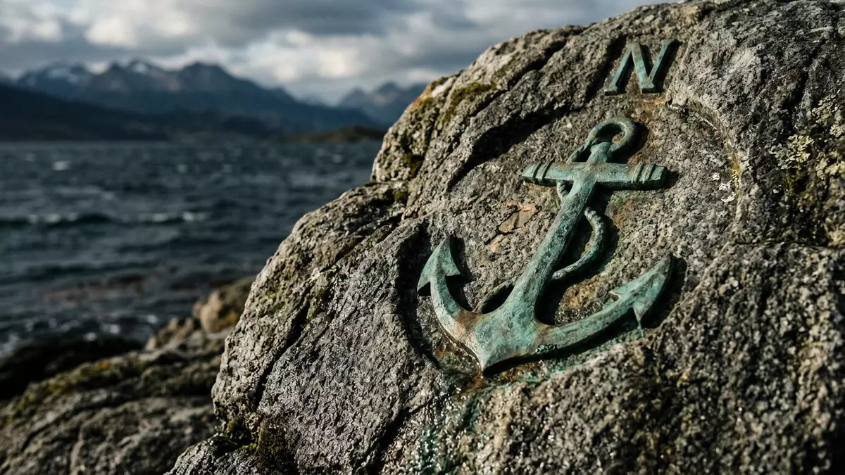
Canal Beagle is a long sea channel beside Ushuaia, where the Andes rise north of the water and islands extend towards Chile. Its visible character comes from the meeting of mountains, open water and scattered shores at the southern tip of South America.
Canal Beagle between Tierra del Fuego and the islands
The channel lies within the Tierra del Fuego archipelago and runs broadly from west to east. It separates the main island of Tierra del Fuego from Navarino, Hoste and smaller islands to the south. The waterway is about 240 km (150 miles) long, with a width ranging from roughly 5 to 13 km (3 to 8 miles). the channel’s dimensions give the landscape a broad maritime scale.
Ushuaia occupies the northern shore of the channel in Argentina’s Tierra del Fuego Province. Across the water lie Chilean islands, including Navarino, while the wider archipelago continues towards Cape Horn. At the western end, the channel divides around Isla Gordon into separate branches.
From HMS Beagle to the name Onashaga
Canal Beagle takes its English name from HMS Beagle, the British survey ship associated with Charles Darwin’s exploration of the region in 1833 and 1834. The name belongs to nineteenth-century maritime charting, while the waterway itself has a much older human history.
The Yaghan name is Onashaga, translated as “hunters’ channel”. Yaghan communities travelled and lived along the waterways of Tierra del Fuego before European expeditions entered the archipelago. The channel therefore carries two naming traditions: one rooted in Indigenous geography, and another linked to British naval exploration. the name Onashaga remains part of Ushuaia’s cultural vocabulary.
Wildlife, lighthouses and a divided frontier
Boat routes from Ushuaia pass islands and rocky shores associated with cormorants, penguins and sea lions. Les Eclaireurs Lighthouse stands among the best-known visual markers of the channel, surrounded by water and low island terrain.
The eastern channel also forms part of the border between Argentina and Chile. Picton, Nueva and Lennox were central to a territorial dispute that began in the nineteenth century and brought the two countries close to war in 1978. A treaty placed the islands under Chilean sovereignty and entered into force on 2 May 1985. the eastern island dispute remains part of the channel’s political history.
Visiting Canal Beagle: what travellers from Western Europe should know
- Canal Beagle runs south of Ushuaia in Argentina. Boat excursions leave from the city’s waterfront and travel among the channel’s islands.
- The surrounding landscape combines sea-level shorelines with Andean mountains. Island routes involve open water, rocky coasts and exposure to strong southern weather.
- Ushuaia is linked with the channel by its waterfront, port and maritime excursions. Les Eclaireurs Lighthouse is a named landmark on the water.
- The official language is Spanish and the currency is the Argentine peso.
- Entry requirements depend on your nationality; UK travellers can check the FCDO travel advice at gov.uk/foreign-travel-advice, Irish travellers the Department of Foreign Affairs at ireland.ie.
Searching for Canal Beagle on social platforms
These links open searches for Canal Beagle on each platform.Frequently asked questions about Canal Beagle
Where is Canal Beagle?
Canal Beagle lies in the Tierra del Fuego archipelago at the southern tip of South America. Ushuaia stands on its northern shore in Argentina.
What can visitors expect on the channel?
Maritime excursions pass islands, rocky shores, wildlife habitats and Les Eclaireurs Lighthouse. The surrounding Andes form the northern landward setting.
What makes Canal Beagle distinctive?
It is a 240 km (150-mile) sea channel separating Tierra del Fuego from islands to the south. Its history joins Yaghan geography, HMS Beagle and the Argentina–Chile frontier.


