
Canal Beagle between Andes and sea at Ushuaia
Published on 09/19/2026 at 11:44 | Editorial responsibility: Rafael Müller, Editor-in-Chief AD HOC NEWS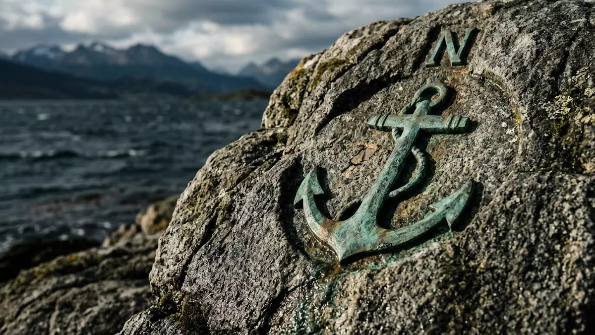
At Ushuaia, at the far south of Argentina, Canal Beagle stretches east–west between the slopes of the Andes and a scattered fringe of islands, forming a broad maritime corridor on the edge of the Tierra del Fuego archipelago. Named for HMS Beagle, the British ship that carried Charles Darwin on his second voyage in the nineteenth century, the strait has become one of the defining features of Ushuaia’s setting.
Canal Beagle as a southern strait
Canal Beagle is the Spanish name for the Beagle Channel, the strait that runs along the southern coast of Isla Grande de Tierra del Fuego and separates it from islands such as Navarino and Hoste to the south.strait in the Tierra del Fuego archipelago The waterway extends for around 240 km (about 150 miles) in an east–west direction and remains relatively narrow compared with open sea channels, with widths on the order of a few kilometres.about 240 km long and several kilometres wide
The channel forms part of the frontier between Argentina and Chile in its eastern reaches, while its western section lies within Chilean territory.border between Argentina and Chile in Tierra del Fuego Ushuaia on the Argentine shore is the largest settlement on Canal Beagle, with Puerto Williams on Navarino Island as another town further along the waterway.Ushuaia and Puerto Williams listed as settlements The combination of cold southern waters, nearby snow-covered peaks and low, windswept islands gives the strait a landscape character that is distinctive within South America.
Mountains, islands and navigation
Seen from Ushuaia’s waterfront, Canal Beagle lies between the city and a line of low islands, while behind the urban area the southernmost ranges of the Andes rise steeply, placing sea and mountains in immediate proximity.combination of the Cordillera de los Andes and Canal Beagle The channel’s western end divides around Isla Gordon in Chile, while toward its eastern extremity the waters approach small islands including Picton, Nueva and Lennox.western branches around Isla Gordon and eastern islands
Historically, Canal Beagle has served as one of the maritime links between the Pacific and Atlantic Oceans, complementing other passages around Cape Horn.waterway connecting Atlantic and Pacific The strait gives access to sheltered channels along the southern edge of Tierra del Fuego and has been important for local navigation and regional shipping. For visitors, this maritime character is visible in the harbour infrastructure at Ushuaia and in vessels that travel along the channel to viewpoints and to more distant destinations such as Cape Horn or Antarctic regions.Ushuaia as departure point for channel and Antarctic voyages
Wildlife, cultures and modern tours
Canal Beagle passes through cold southern waters that support marine mammals and seabirds, including colonies of sea lions and penguins on some of the low-lying islands that rise from the channel. Boat excursions from Ushuaia commonly approach islands where Magellanic and Gentoo penguins have established nesting areas, as well as shores used by sea lions, giving a sense of how closely wildlife and navigation share the strait.marine life and wildlife viewing around Canal Beagle
The waterway also carries traces of human presence beyond modern port structures. In Yaghan language, Canal Beagle has been known as Canal Onashaga, with meanings linked to hunting and to local groups, reflecting earlier use of the strait by indigenous communities.Canal Onashaga name and meaning In the nineteenth century it entered wider geography through the voyages of HMS Beagle, whose name became attached to the channel and whose second voyage carried Charles Darwin as a naturalist.naming after HMS Beagle and Darwin’s voyage Modern tours from Ushuaia often combine maritime views, the sight of the Les Eclaireurs lighthouse and visits to islands such as Martillo with information about these layers of history, giving Canal Beagle both a scenic and a historical dimension within the wider landscape of Tierra del Fuego.Les Eclaireurs lighthouse and Martillo Island on navigation routes
Visiting Canal Beagle: what travellers from Western Europe should know
- Canal Beagle runs south of Ushuaia in southern Argentina, and boat tours generally depart from the port area along the city’s waterfront on the shore of the strait.
- The surrounding terrain combines steep mountain slopes with low islands and exposed maritime weather; excursions on the water and viewpoints along the coast involve outdoor conditions near sea level.
- Canal Beagle lies in Argentina, where the official language is Spanish and the currency is the Argentine peso.
- From Ushuaia’s port, navigation routes along Canal Beagle pass close to islands with wildlife colonies and to the Les Eclaireurs lighthouse, so excursions combine coastal views with open-channel stretches.
- Entry requirements depend on your nationality; UK travellers can check the FCDO travel advice at gov.uk/foreign-travel-advice, Irish travellers the Department of Foreign Affairs at ireland.ie.
Searching for Canal Beagle on social platforms
These links open searches for Canal Beagle on each platform.
Frequently asked questions about Canal Beagle
Where is Canal Beagle located?
Canal Beagle lies in the Tierra del Fuego archipelago at the southern tip of South America, passing south of Ushuaia in Argentina and forming part of the border with Chile.
What can visitors expect on a visit to Canal Beagle?
Visitors encounter a cold maritime strait framed by mountain ranges and low islands, with boat excursions from Ushuaia providing close views of coastal scenery and wildlife colonies.
What makes Canal Beagle distinctive within Argentina?
The strait’s combination of an east–west channel named for HMS Beagle, its role as a frontier between Argentina and Chile and its proximity to both Andes slopes and wildlife-rich islands gives it a character unusual within the country.


