
Canal Beagle at Ushuaia between mountains and sea
Published on 09/09/2026 at 06:26 | Editorial responsibility: Rafael Müller, Editor-in-Chief AD HOC NEWS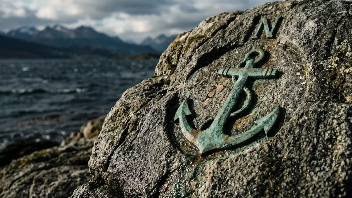
Canal Beagle is the Spanish name for the Beagle Channel, the long strait that runs just south of Ushuaia in Argentina, holding sea, mountains and islands within one tightly drawn horizon. It lies in the wider Tierra del Fuego archipelago at the southern tip of South America, where the Andes taper into broken ridges and the continent meets the cold waters of the subpolar South Atlantic.
A strait at the end of South America
In geographical terms Canal Beagle is a narrow east–west passage cutting across the southern edge of the island group known as Tierra del Fuego, forming an inland sea route rather than an exposed ocean crossing. It separates the main island of Tierra del Fuego to the north from a row of Chilean islands including Navarino and Hoste to the south, turning the channel itself into a shared border between the two countries along part of its length.east–west passage The waterway extends for about 240 km (150 miles) and is relatively narrow, which makes its mountains and shorelines feel close even when a ship sails in the centre of the channel.about 240 km long
Ushuaia itself sits on the northern shore of Canal Beagle, built between the water and the Martial mountains. The city occupies a bay on the southern coast of Isla Grande de Tierra del Fuego, bounded on the landward side by a line of ridges and on the seaward side by the channel, so that urban streets, harbour installations and steep slopes all face into the same sweeping view.bay on the southern coast At roughly 55° south the latitude here is deep within the subpolar zone of the southern hemisphere, and that position makes Canal Beagle one of the southernmost navigable straits used by regular shipping.
Mountains, islands and cold water
The landscape around Canal Beagle is shaped by the meeting of the Patagonian Andes with glacially carved waterways, and that gives the channel a strong sense of enclosure. Peaks on the north side rise behind Ushuaia, with glaciers and snowfields lying above the treeline, while the south side shows the lower outlines of islands such as Navarino set against distant ridges further into Chile.Patagonian Andes On many stretches the shores fall fairly steeply into the water, leaving little flat ground between mountain and sea and making the channel feel like a corridor cut through high terrain.
Canal Beagle itself is a glacially influenced waterway, with a cross-section shaped by ice moving along a valley during the Quaternary glaciations. Its profile reflects that origin, with lateral features and rocky islands that show where ice once pressed and retreated, and depths that tend to be greater in the western reaches near the approach from the Pacific.glacially influenced waterway The channel links waters connected to both the Atlantic and the Pacific, forming an internal route which can act as an alternative to the more exposed course around Cape Horn in broader regional terms.alternate route between the Atlantic and Pacific
Border, history and navigation
Beyond its physical setting Canal Beagle carries a long history as a frontier between Argentina and Chile. An agreement reached in 1881 set the Beagle Channel as part of the international boundary in Tierra del Fuego, allocating islands to each country according to their position relative to the strait, and this framework underpinned later discussions about sovereignty.agreement reached in 1881 Differing interpretations of where exactly the boundary ran – and therefore which side controlled particular islands and associated maritime rights – turned the channel into the focus of a territorial dispute for much of the twentieth century.
The three islands of Picton, Lennox and Nueva near the eastern entrance of Canal Beagle became central to that dispute, with both states setting out their claims and seeking arbitration. An award in 1977 supported Chilean sovereignty over those islands, and further mediation led in 1984 to a Treaty of Peace and Friendship that resolved the conflict and confirmed the division of waters and land along the channel.1977 award As a result, Canal Beagle today functions as a navigable strait where the border is settled, with Argentina holding the northern shore around Ushuaia and Chile controlling much of the southern islands, though both share navigation of the waters.
Visiting Canal Beagle: what travellers from Western Europe should know
- Canal Beagle lies just south of Ushuaia in southern Argentina, in the Tierra del Fuego archipelago; access is usually via transport connections into the city and onward across Ushuaia Bay.
- The terrain around the channel combines steep mountain slopes and rocky shores, with approaches that can involve uneven ground, short climbs and exposed waterfronts rather than long level promenades.
- Seasonal weather in this subpolar region can bring cold temperatures, strong winds and rapid changes in visibility, and conditions on the water reflect that climate even when the channel itself is relatively sheltered.
- Canal Beagle forms part of the frontier with Chile, so cross-border movements beyond the immediate Ushuaia area involve international travel between Argentina and Chile under the relevant entry requirements.
- The official language is Spanish and the currency is the Argentine peso.
Searching for Canal Beagle on social platforms
These links open searches for Canal Beagle on each platform.Frequently asked questions about Canal Beagle
Where is Canal Beagle located?
Canal Beagle is the Spanish name for the Beagle Channel, a strait in the Tierra del Fuego archipelago at the southern tip of South America, running past Ushuaia in Argentina.
What should travellers expect on a visit to Canal Beagle?
A visit brings views of a narrow maritime passage enclosed by mountains and islands, with cold-water conditions and a clear sense of being at the far southern edge of the continent.
What makes Canal Beagle distinctive among southern waterways?
Canal Beagle combines a settled frontier history between Argentina and Chile with a glacially carved landscape, creating a strait that is both a border and a sheltered route between Atlantic and Pacific waters.


