
Cabo da Roca at the edge of Europe’s Atlantic cliffs
Published on 09/02/2026 at 06:12 | Editorial responsibility: Rafael Müller, Editor-in-Chief AD HOC NEWS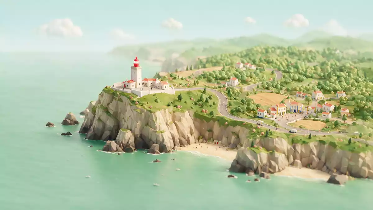
Cabo da Roca marks the western edge of mainland Europe, a wind-shaped headland on the Atlantic coast of Portugal within the municipality of Sintra. High granite cliffs, a working lighthouse from the eighteenth century and a stone marker together give this exposed point a clear sense of where land ends and ocean begins.
Cliffs above the Atlantic at Europe’s western edge
Cabo da Roca forms the outer tip of the Sintra Mountain Range, where the hills of the Serra de Sintra fall away into a line of Atlantic cliffs. The cape lies within the Sintra-Cascais Natural Park, a protected coastal landscape west of Lisbon where rock, scrub and sea dominate the view.The cape sits within the Sintra-Cascais Natural Park The headland rises about 165 m (541 ft) above the Atlantic, with granite outcrops and interspersed bands of other rock creating a rugged profile along the shoreline.The cape stands 165 metres above the Atlantic Ocean on granite cliffs
The stone monument on the headland carries the coordinates of Cabo da Roca and a line by the sixteenth-century poet Luís de Camões from his epic “Os Lusíadas”.The stele bears a verse from Luís de Camões The phrase, which speaks of land ending and the sea beginning, connects the physical setting with Portugal’s age of maritime exploration and anchors this exposed point in the country’s literary history.
An eighteenth-century lighthouse on a granite headland
Set slightly back from the cliff edge stands the Cabo da Roca Lighthouse, a compact white tower with red lantern, attached to a group of service buildings. The lighthouse began operating in 1772 and is described as one of the older navigational beacons on the Portuguese coast.The lighthouse has been an important point for navigation since the eighteenth century Its light sits on a platform about 165 m (541 ft) above sea level, making the beacon visible far out at sea.The lighthouse stands 165 metres above the Atlantic Ocean
The present form of the tower dates from the nineteenth century, when the structure was rebuilt and standardised along third-order lighthouse lines.The lighthouse was completed in 1772 and its present form dates from 1842 A courtyard and attached buildings form a low complex around the base, contrasting with the sheer drop just beyond the perimeter. From the plateau around the lighthouse, the view runs along the serrated line of the Sintra-Cascais coast and across the open Atlantic.
From stone marker to surrounding trails
Beside the lighthouse, the headland carries a stone stele marking Cabo da Roca as the westernmost point of mainland Portugal, continental Europe and the Eurasian landmass.Cabo da Roca is described as the westernmost point of mainland Portugal and continental Europe The marker combines the coordinates, a cross and the Camões line, making it both a geographical reference and a piece of cultural signage. Low fencing and simple paths frame the monument and guide walkers along the safer parts of the cliff-top plateau.
Cabo da Roca forms part of a wider coastal landscape of paths, lookout points and routes leading down towards smaller coves and neighbouring headlands. Trails link the cape with nearby locations such as Colares and the coastal tracks above beaches including Praia da Ursa, giving walkers a way to combine the viewpoint with longer hikes.Marked walking routes connect Cabo da Roca with surrounding paths The mixture of built elements and open terrain keeps the focus on the meeting line between the Serra de Sintra and the Atlantic.
Visiting Cabo da Roca: what travellers from Western Europe should know
- Cabo da Roca lies west of Sintra and north of Cascais, on the Atlantic coast between these two towns within the Sintra-Cascais Natural Park. It is reached by road from Sintra or Cascais and sits roughly west of Lisbon along the same coastal corridor.
- The headland is a cliff-top plateau with unfenced drops beyond the main paths and low barriers, and the terrain includes rough ground, coastal vegetation and stretches of exposed rock underfoot.
- Public transport links include buses from Sintra railway station and from Cascais, using services that follow the EN-247 road towards the cape along the coastal and hill roads.
- The official language is Portuguese and the currency is the euro.
Searching for Cabo da Roca on social platforms
These links open searches for Cabo da Roca on each platform.
Frequently asked questions about Cabo da Roca
Where is Cabo da Roca?
Cabo da Roca is a headland on the Atlantic coast of Portugal in the municipality of Sintra, forming the westernmost point of mainland Portugal and continental Europe.
What should visitors expect on a visit?
Visitors encounter high Atlantic cliffs, a stone monument with coordinates and a line by Luís de Camões, and views along the Sintra-Cascais coastline from the lighthouse plateau.
What makes Cabo da Roca distinctive?
Cabo da Roca combines its position at the edge of the Eurasian landmass with an eighteenth-century lighthouse, a literary inscription and direct exposure to the Atlantic.


