
Bulkang Mayon and the perfect volcanic cone above Legazpi
Published on 09/16/2026 at 18:11 | Editorial responsibility: Rafael Müller, Editor-in-Chief AD HOC NEWS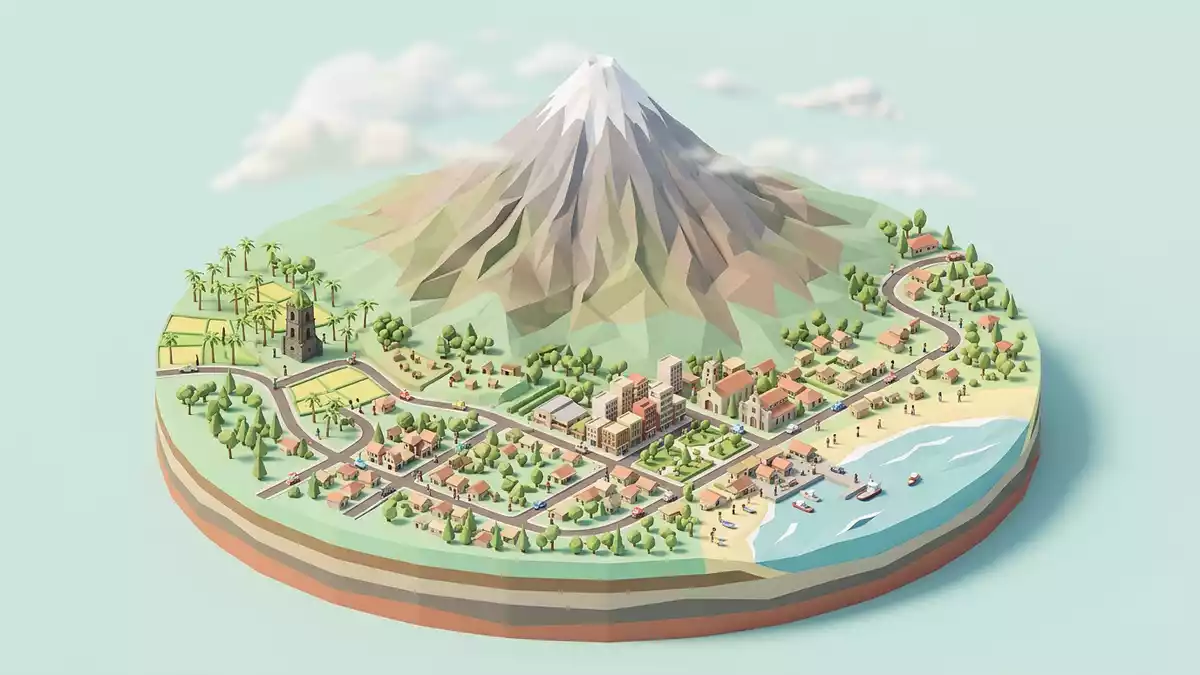
Bulkang Mayon, known in English as Mayon Volcano, dominates the landscape around Legazpi in the Bicol region of the Philippines with a remarkably symmetrical volcanic cone and a long record of eruptions reaching back to the early seventeenth century.Mayon Volcano
A near-perfect cone above Albay Gulf
Bulkang Mayon is an active stratovolcano rising in the province of Albay on the southeastern extremity of Luzon Island, with its slopes falling towards the shores of Albay Gulf north-west of Legazpi City.rises above the Albay Gulf The volcano reaches about 2,462 m (8,077 ft) above sea level, forming the highest mountain in Southern Luzon and a focal point visible from towns and villages on every side.2462 meters or 8077 feet
The cone of Bulkang Mayon has a remarkably regular profile, often described in geological literature as one of the most symmetrical volcanic landforms along the Bicol volcanic arc.most iconic and remarkable landform along the Bicol Arc On maps the volcano sits at the centre of a ring of political boundaries, shared by eight cities and municipalities whose territories divide its slopes like segments around the cone, including Legazpi, Daraga, Camalig, Guinobatan, Ligao, Tabaco, Malilipot and Santo Domingo.which divide the cone like slices of a pie
Eruptions, national park and cultural landscape
Bulkang Mayon has a long history of documented activity, with eruptions recorded from 1616 onwards and more than fifty episodes noted by observers over the centuries.more than fifty times have been recorded since the first observations made by Dutch explorers in 1616 Geologically, the volcano is a composite cone built mainly from andesite and basaltic-andesite lava flows, with thick deposits of pyroclastic flows and lahars on its lower slopes, forming a classic stratovolcano profile described in regional volcanic studies.classic composite cone of andesite and basaltic-andesite lavas
In 1938 President Manuel L. Quezon proclaimed Mayon Volcano as a National Park, giving formal protection to the landscape that spreads around the cone.proclaimed as a National Park by President Manuel L. Quezon in 1938 The present Mayon Volcano Natural Park was established in 2000, and a wider Mayon Volcano Cultural Landscape has been placed on the UNESCO Tentative List, recognising volcanic peaks, church ruins and parish churches around the mountain as parts of a single cultural and natural ensemble.Mayon Volcano Cultural Landscape
Bulkang Mayon from Legazpi and the surrounding settlements
Legazpi is one of the closest urban centres to Bulkang Mayon, and streets, harbour areas and hilltops around the city offer broad views of the volcano rising beyond rice fields, coconut groves and abaca plantations mentioned in descriptions of the lower slopes.abaca plantations on its lower slopes Around the foot of the mountain, rural settlements share space with volcanic boulders and historic sites such as church ruins linked to earlier eruptions, including the famous Cagsawa Ruins where a church was destroyed in the nineteenth century.eruptions of 1814 and 1984 and the Cagsawa ruins
The wider cultural landscape around Bulkang Mayon includes parish churches in Daraga and Camalig and other sites associated with both religious life and volcanic history, which together frame the volcano within the daily life of Albay.Our Lady of the Gate Parish Church, Cagsawa ruins, Budiao ruins and St. John the Baptist Parish Church Approaches from Legazpi and neighbouring towns pass farmland cut by older lava flows and lahar channels, giving visual evidence of how repeated eruptions have reshaped the terrain around the cone.
Visiting Bulkang Mayon: what travellers from Western Europe should know
- Bulkang Mayon rises in Albay province on the Bicol Peninsula of Luzon, south-east of Manila, with Legazpi City acting as a main regional centre connected by road and air links.
- Tracks and viewpoints around Bulkang Mayon often cross uneven volcanic terrain, including loose ash, boulders and hardened lava, and some hill paths involve sustained gradients.
- Legazpi stands near the coast of Albay Gulf, and surrounding municipalities such as Daraga, Camalig and Tabaco provide further vantage points towards the volcano across fields and low hills.
- The official language is Filipino and the currency is the Philippine peso.
- Entry requirements depend on your nationality; UK travellers can check the FCDO travel advice at gov.uk/foreign-travel-advice, Irish travellers the Department of Foreign Affairs at ireland.ie.
Searching for Bulkang Mayon on social platforms
These links open searches for Bulkang Mayon on each platform.
Frequently asked questions about Bulkang Mayon
Where is Bulkang Mayon located?
Bulkang Mayon stands in Albay province on the Bicol Peninsula of Luzon in the Philippines, rising near Legazpi City and visible from several surrounding municipalities.
What can visitors expect when viewing Bulkang Mayon?
Visitors see a high, symmetrical volcanic cone above Albay Gulf, with views over farmland, abaca plantations and volcanic boulders that record past eruptions and their impact on nearby settlements.
What makes Bulkang Mayon distinctive among volcanoes?
Bulkang Mayon is distinctive for its regular cone shape, its status as the most active volcano in the Philippines and its integration into a protected natural park and wider cultural landscape.


