
Bryce Canyon National Park’s amphitheatres of hoodoos
Published on 08/31/2026 at 13:04 | Editorial responsibility: Rafael Müller, Editor-in-Chief AD HOC NEWS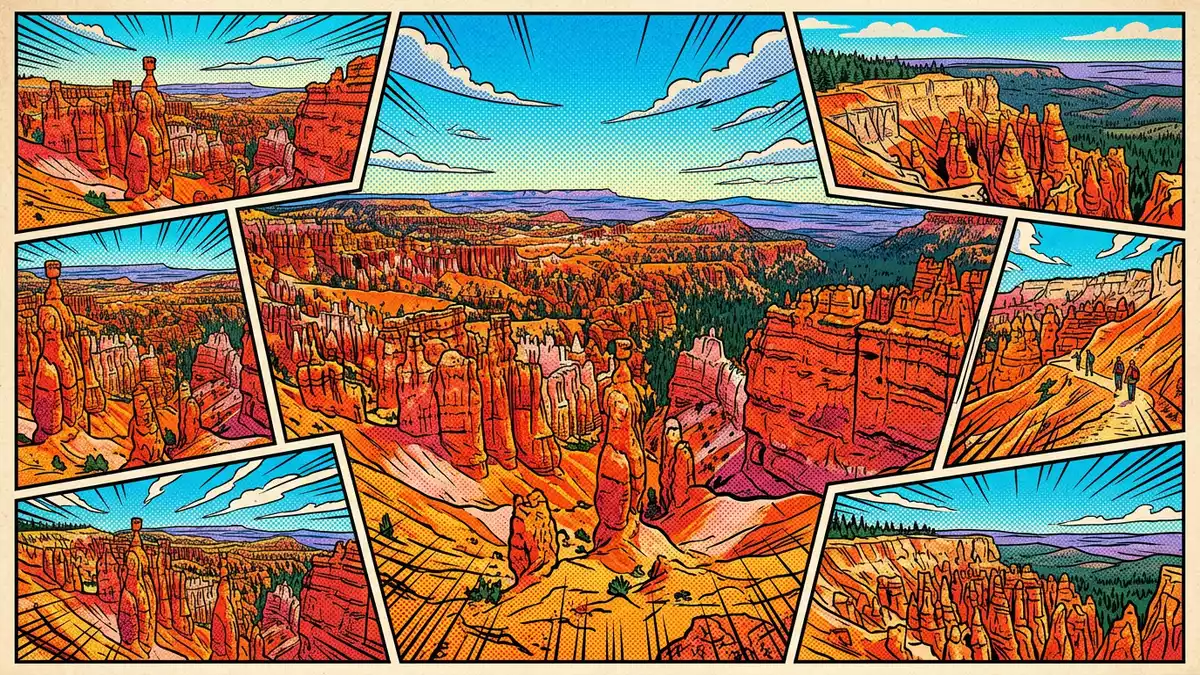
Bryce Canyon National Park in Utah takes the familiar idea of a canyon and turns it on its head, presenting a chain of natural amphitheatres filled with ranks of stone hoodoos along the rim of the Paunsaugunt Plateau. Established as a national park in 1928, it occupies high ground above the desert and connects geological history with a distinctly sculptural landscape in the American West.
Amphitheatres carved from a plateau edge
The central surprise of Bryce Canyon National Park is that Bryce Canyon itself is not a single slot cut through rock but a series of amphitheatres opening out from the eastern edge of the Paunsaugunt Plateau. Instead of a river slicing straight down a valley, erosion has bitten into the plateau rim, excavating broad, bowl-like depressions that march north to south for many kilometres.series of natural amphitheatres The largest of these, Bryce Amphitheater, stretches for many kilometres and drops hundreds of metres from rim to floor, its inward-curving walls packed with delicate stone forms.Bryce Amphitheater dimensions
From the plateau rim, the amphitheatres read as vast terraces of colour. Bands of white, pink and orange rock stack upon one another, broken into fluted walls and free-standing pillars. Many visitors first encounter Bryce Canyon at one of the main viewpoints along the rim road, looking down into the so?called “silent city” where dense hoodoo clusters appear almost architectural.hoodoo-filled amphitheaters From this height, the amphitheatres read less as wild chasms and more as a carved façade on an enormous scale.
Hoodoos and the Claron Formation
The hoodoos that define Bryce Canyon National Park rise from sedimentary rocks laid down in lakes and streams and later hardened into the Claron Formation, a sequence of limestones and other deposits dating to the Cenozoic Era. These rocks, coloured by minerals and oxidation, provide the raw material for the spires, fins and pinnacles that fringe the plateau. At Bryce, hoodoos reach heights of around 60 m (200 ft), and their outlines vary from slender columns to squat towers with pronounced caps.hoodoos up to 60 m high
Weathering works especially hard on the Claron limestones. Freeze–thaw cycles, runoff and slightly acidic rainfall all attack the rock, etching networks of gullies, alcoves and ridges along the plateau edge. Over geological time, these processes have isolated thousands of individual hoodoos from former cliff lines.erosional features on the Paunsaugunt Plateau Many hoodoos show layered construction, with a harder band sitting above softer material that erodes more quickly; this contrast gives them irregular profiles and overhanging tops that catch the light differently through the day.hoodoo structure and differential erosion
History, elevation and dark skies
Bryce Canyon’s path to national park status began with its proclamation as a national monument by President Warren G. Harding on 8 June 1923, reflecting the recognised scenic and scientific interest of the area.national monument in 1923 In 1924 Congress created Utah National Park, and on 25 February 1928 the designation Bryce Canyon National Park was adopted.renamed Bryce Canyon National Park in 1928 The park today occupies a long, roughly rectangular tract of the Paunsaugunt Plateau’s eastern rim, sitting at elevations around 2,400 m (7,900 ft) above sea level.elevation and location details
That elevation shapes both the vegetation and the atmosphere. Forest and semi?arid communities mix around the rim, and the clear, dry air contributes to night skies that reveal dense star fields when conditions permit.biophysical description of the park Bryce Canyon sits within a wider geological staircase that connects it with Zion and Grand Canyon national parks; all three share origins in ancient seas and later uplift, but Bryce’s amphitheatres and concentration of hoodoos give it a character distinct from the sheer sandstone walls of its neighbours.relationship to other regional parks
Visiting Bryce Canyon National Park: what travellers from Western Europe should know
- Bryce Canyon National Park lies near the community of Bryce in southern Utah, reached by road along UT?63 from larger regional centres in the United States.
- The main viewpoints sit on a high plateau rim, and paths into the amphitheatres descend steeply on unpaved routes that combine graded track with stair-like sections.
- Weather can vary sharply with elevation, and conditions underfoot on trails reflect a mix of loose sedimentary rock and dust rather than level urban paving.
- The official language is English and the currency is the United States dollar.
- Entry requirements depend on your nationality; UK travellers can check the FCDO travel advice at gov.uk/foreign-travel-advice, Irish travellers the Department of Foreign Affairs at ireland.ie.
Searching for Bryce Canyon National Park on social platforms
These links open searches for Bryce Canyon National Park on each platform.
Frequently asked questions about Bryce Canyon National Park
Where is Bryce Canyon National Park?
Bryce Canyon National Park is in southern Utah in the United States, on the eastern edge of the Paunsaugunt Plateau near the community of Bryce.
What should visitors expect on a visit?
Visitors encounter high?elevation viewpoints over amphitheatres of hoodoos, with rim drives and steep trails that drop from forested plateau edges into sculpted stone terrain.
What makes Bryce Canyon National Park distinctive?
The park’s character rests on its chain of amphitheatres carved from a plateau rim, coupled with dense hoodoo formations in coloured Cenozoic rocks that differ from nearby canyon landscapes.


