
Bryce Canyon National Park and its sculpted hoodoo amphitheatres
Published on 09/17/2026 at 08:38 | Editorial responsibility: Rafael Müller, Editor-in-Chief AD HOC NEWS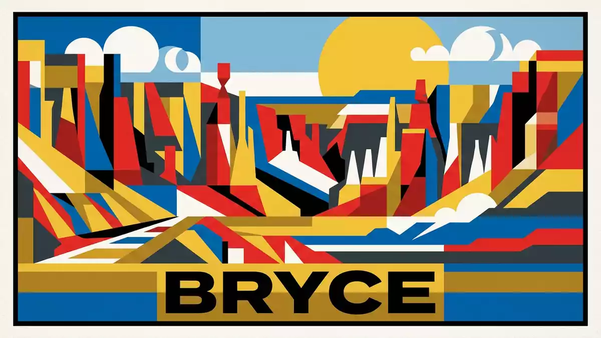
Bryce Canyon National Park in southern Utah is a place where an apparently solid plateau edge dissolves into amphitheatres of freestanding rock pillars called hoodoos. Set above the small settlement of Bryce, the park occupies the eastern escarpment of the Paunsaugunt Plateau and was formally established as a national park in 1928, giving a protected status to a landscape carved over millions of years.established on 15 September 1928
Amphitheatres rather than a single canyon
The name suggests a classic river-cut gorge, yet Bryce Canyon is not a single canyon but a sequence of natural amphitheatres eroded into the plateau’s eastern face.not a canyon but amphitheatres Along more than 20 miles (about 32 km) of rim, the Paunsaugunt Plateau breaks into recesses where cliffs curve around open basins, the largest of which is known as Bryce Amphitheater.fourteen giant natural amphitheatres
From viewpoints above Bryce Amphitheater the terrain reads almost like a cross-section through the plateau, with sweeping walls enclosing slopes crowded by pillars, fins and narrow ridges.the largest depression is Bryce Amphitheater The amphitheatres bite into the Pink Cliffs of the Claron Formation, leaving the plateau’s forested surface standing abruptly above the hollowed-out basins where rock has been removed and reshaped into thousands of individual towers.
Hoodoos and the Claron Formation
The rock pillars that give Bryce Canyon National Park its character are hoodoos, freestanding chimneys of sedimentary rock capped by slightly more resistant layers. Many rise tens of metres from the amphitheatre floor, separated by narrow gullies and small ridges, so that from the rim the landscape appears as a dense city of stone. These hoodoos formed from lake and floodplain sediments that were later uplifted as part of the wider Colorado Plateau, then fractured and eroded by frost and rain.Claron Formation of Eocene age
The Claron Formation, often referred to as part of the Pink Cliffs, consists mainly of limestones and related rocks laid down tens of millions of years ago.colourful Claron Formation dominates the amphitheatres Minerals such as iron oxides and manganese oxides stain its layers in orange, red, yellow and purple tones, so that each hoodoo carries horizontal bands that record subtle changes in past environments.bright orange colours from hematite More resistant beds act as protective caps on top of the pillars, while softer beds weather into slopes and gullies, giving the amphitheatres their strongly tiered structure.
A high plateau edge above southern Utah
Bryce Canyon National Park occupies a strip along the eastern edge of the Paunsaugunt Plateau in southern Utah, within Garfield County and extending slightly towards Kane County.along the eastern edge of the Paunsaugunt Plateau The plateau itself forms part of the High Plateaus of Utah, a section of the Colorado Plateau where uplift has raised sedimentary layers to elevations well above 2,000 m (around 6,600 ft). At Bryce the park’s rim stands at over 2,400 m (about 7,900 ft), with viewpoints looking east towards the Paria River valley.elevation around 2,406 m
The protected area covers tens of thousands of acres, enough to encompass the main amphitheatres, their surrounding forests and parts of the plateau surface behind the rim.total area 35,980 acres Within this strip the landscape shifts rapidly from closed woodland on the plateau’s relatively level top to open rock on the escarpment, where trails and viewpoints reach the edges of the amphitheatres and descend among the hoodoos on steep paths.
Visiting Bryce Canyon National Park: what travellers from Western Europe should know
- Bryce Canyon National Park lies near the small community of Bryce in southern Utah, reached by road along UT-63 from wider highway networks in the region.
- The rim of the park sits at high elevation on the Paunsaugunt Plateau, and paths that drop into the amphitheatres can be steep with sustained gradients.
- Several viewpoints are directly beside the escarpment, where fenced edges look down into the hoodoos and unshaded terrain exposes visitors to strong sun at altitude.
- The official language is English and the currency is the United States dollar.
- Entry requirements depend on your nationality; UK travellers can check the FCDO travel advice at gov.uk/foreign-travel-advice, Irish travellers the Department of Foreign Affairs at ireland.ie.
Searching for Bryce Canyon National Park on social platforms
These links open searches for Bryce Canyon National Park on each platform.
Frequently asked questions about Bryce Canyon National Park
Where is Bryce Canyon National Park?
Bryce Canyon National Park is in southern Utah in the United States, along the eastern edge of the Paunsaugunt Plateau above the community of Bryce.
What should visitors expect on a first visit?
Visitors encounter a series of cliff-lined amphitheatres cut into a high plateau, with viewpoints on the rim and steep paths descending among densely clustered hoodoos.
What makes Bryce Canyon National Park distinctive?
The park is distinguished by its concentration of brightly coloured hoodoos carved from the Claron Formation, arranged in large natural amphitheatres rather than a single through-cut canyon.


