
Blyde River Canyon, a green sandstone gorge above Graskop
Published on 09/15/2026 at 11:40 | Editorial responsibility: Rafael Müller, Editor-in-Chief AD HOC NEWS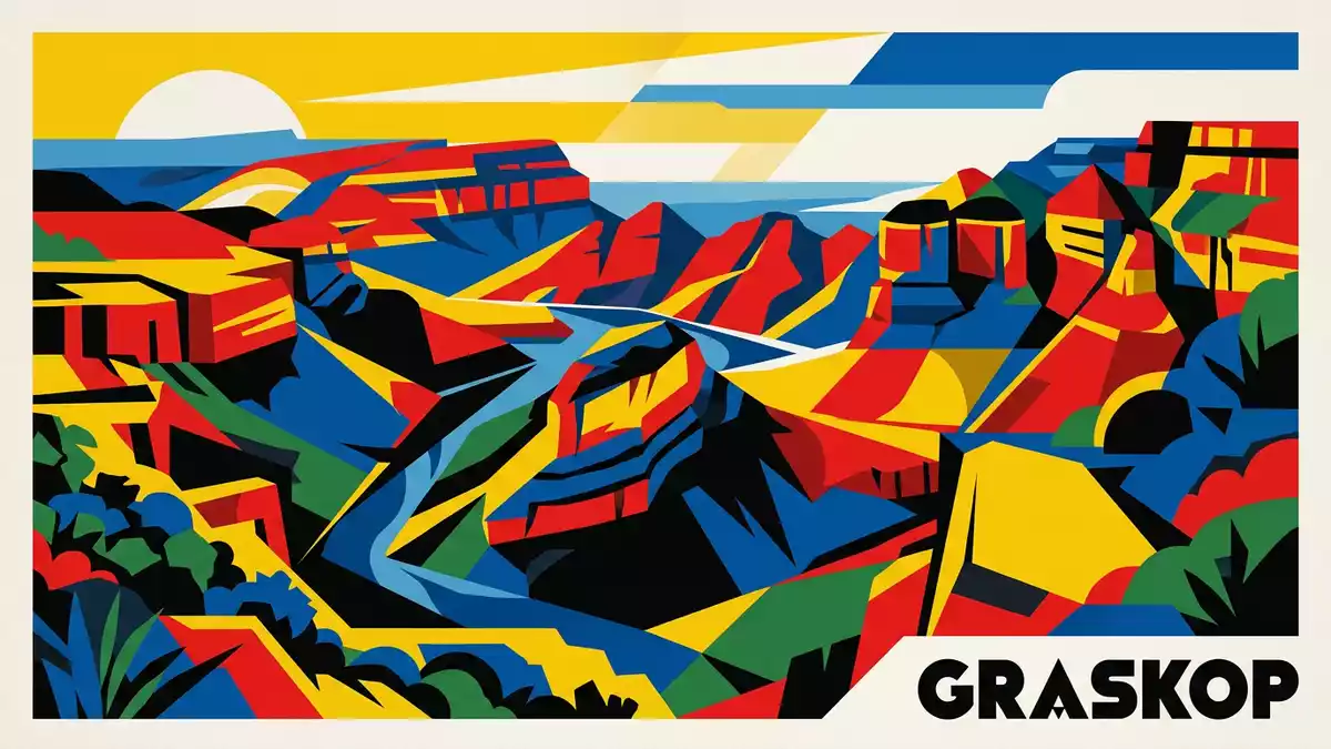
Blyde River Canyon in Mpumalanga is a long, winding gorge where the Blyde River has carved a deep corridor into red and quartz-rich sandstones north of Graskop, exposing cliffs, terraces and forested slopes along the Drakensberg escarpment in north-eastern South Africa. The canyon follows the river for about 26 km (16 mi) between the confluence with the Treur River and the Blyde Dam, with a drop from high plateau viewpoints to the riverbed below measured in hundreds of metres.
A sandstone canyon on the Drakensberg escarpment
Blyde River Canyon occupies part of the Drakensberg escarpment in eastern Mpumalanga, where a high plateau gives way abruptly to lower country and broad plains towards the east. The gorge forms the core of the Blyde River Canyon Nature Reserve, also known as the Motlatse Canyon Provincial Nature Reserve, which protects sections of the Blyde River and its tributaries along this broken edge of the plateau north of Graskop.Blyde River Canyon Nature Reserve
The canyon itself runs for roughly 26 km (16 mi) along the course of the Blyde River, cutting through sedimentary rocks of the Transvaal Supergroup before reaching the Blyde Dam at its lower end.26 km long canyon Geological descriptions of the area identify formations such as Black Reef Quartzite and Timeball Hill Shale, together with other sandstones and shales that form the banded strata visible on the canyon walls.Transvaal Supergroup rocks Elevations in the reserve range from around 560 m (1,837 ft) near the lower river to more than 1,900 m (6,234 ft) on peaks such as Mariepskop, so viewpoints can sit high above the river corridor.
Rock layers, rivers and subtropical vegetation
Seen from the rim, Blyde River Canyon appears as a broad, green trench, its slopes covered in subtropical vegetation that contrasts with the reddish and brown tones of the underlying sandstone and quartzite. The river follows a winding course through this landscape, turning between buttresses and terraces before entering the wider basin at the Blyde Dam, where the water spreads out beneath high enclosing walls.
The Blyde River has its source in the Drakensberg near Pilgrim’s Rest and flows north to meet the Treur River at Bourke’s Luck Potholes, a zone of rounded cavities and sculpted rock that marks the southern end of the main gorge.Bourke’s Luck Potholes and river course From there the river enters the deeper canyon system, continuing towards the dam and receiving tributaries along the way. Across the reserve, the rock units belong to the Transvaal Supergroup and include quartzite, sandstone and shale, with dolerite intrusions in places that weather differently and add variety to the skyline above the canyon.quartzite and shale formations
Viewpoints, escarpment drives and surrounding landscapes
Blyde River Canyon sits along a section of the Panorama Route, a scenic drive in Mpumalanga that links viewpoints and rock formations on the Drakensberg escarpment between Graskop and the Abel Erasmus Pass.Panorama Route in Mpumalanga On the southern side of the gorge, Bourke’s Luck Potholes provide access to the confluence zone where the Treur River joins the Blyde, while further north, viewpoints above the Blyde Dam look across river bends and the enclosing canyon walls.
One of the best-known views along the canyon is from the Three Rondavels area, where rounded quartzite peaks rise from the canyon floor and sides and resemble traditional circular rondavel dwellings when seen from a distance.Three Rondavels viewpoint Other viewpoints on the escarpment offer wide vistas across the river corridor and towards the lowveld beyond, and in clear conditions the contrast between the high, cool plateau and the lower country to the east is visible in the way the land drops away from the rim.
Visiting Blyde River Canyon: what travellers from Western Europe should know
- Blyde River Canyon lies in Mpumalanga province in north-eastern South Africa, north of Graskop along the Drakensberg escarpment, and is reached by road on routes such as the R532 and R531 that link the town with Panorama Route viewpoints.
- The terrain across the Blyde River Canyon Nature Reserve combines high escarpment ground and steep slopes down towards the river, with paths, stairways and viewing areas that can involve gradients and a noticeable change in altitude between parking areas and viewpoints.
- The official language is Afrikaans and English is widely used; the national currency is the South African rand.
- Entry requirements depend on your nationality; UK travellers can check the FCDO travel advice at gov.uk/foreign-travel-advice, Irish travellers the Department of Foreign Affairs at ireland.ie.
Searching for Blyde River Canyon on social platforms
These links open searches for Blyde River Canyon on each platform.Frequently asked questions about Blyde River Canyon
Where is Blyde River Canyon located?
Blyde River Canyon is in Mpumalanga province in north-eastern South Africa, north of the town of Graskop, along the Drakensberg escarpment.
What can visitors expect on a visit to Blyde River Canyon?
Visitors encounter a deep sandstone gorge with subtropical vegetation, river bends, viewpoints on the escarpment and drives that connect outlooks such as Bourke’s Luck Potholes and the Three Rondavels.
What makes Blyde River Canyon distinctive among South African landscapes?
The combination of a long, river-carved sandstone canyon, substantial elevation differences between rim and river and accessible viewpoints along a scenic escarpment drive gives Blyde River Canyon a character distinct from many other South African river valleys.


