
Blue Mountains above Kingston’s coastal plain
Published on 09/05/2026 at 10:30 | Editorial responsibility: Rafael Müller, Editor-in-Chief AD HOC NEWS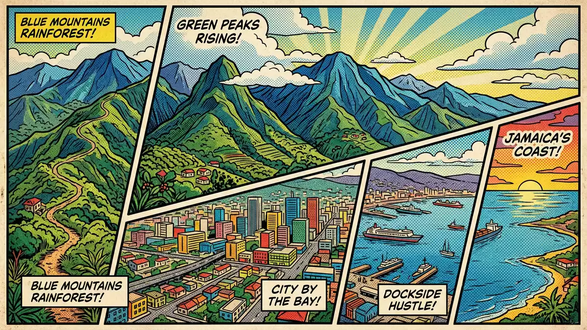
East of Kingston, the Blue Mountains rise sharply from the coastal plain, forming a long green ridge that defines Jamaica’s eastern skyline and culminates at Blue Mountain Peak in the Blue and John Crow Mountains National Park. The range is a place where steep slopes, cool air and dense vegetation come together in a landscape that contrasts clearly with the lowland city below.
The mountain range shaping eastern Jamaica
The Blue Mountains form the longest continuous mountain range on Jamaica, running across the island’s eastern side and separating Kingston from the interior highlands. Their summits extend for dozens of kilometres, creating a spine of high ground that dominates the eastern third of the island and links Kingston visually with the rural parishes beyond.range in eastern Jamaica The highest point of the range is Blue Mountain Peak, which reaches about 2,256 m (7,402 ft) above sea level and stands among the tallest peaks in the Caribbean outside Hispaniola.Blue Mountain Peak
The mountains extend from the hills above Kingston eastward towards the Caribbean Sea, and sections of the range fall within several parishes, including Portland, Saint Thomas, Saint Mary and Saint Andrew.spans four parishes The slopes facing the trade winds receive heavy rainfall measured in several thousand millimetres each year, feeding numerous streams that cut through the forest and run down towards the coastal settlements.rainfall and streams This combination of elevation, moisture and steep gradients gives the range its dense vegetation and its reputation for rugged terrain.
Blue Mountain Peak and the national park
Blue Mountain Peak itself stands in the eastern part of the range and is recognised as the highest mountain in Jamaica, a summit that climbers and walkers reach along established tracks through the forest. Its elevation of 2,256 m (7,402 ft) has been measured consistently in modern sources, making it a fixed reference point for Jamaica’s topography.highest mountain in Jamaica The peak is located near Cedar Valley in Saint Thomas Parish, and its coordinates place it firmly within the eastern highlands above the coastal plain.Cedar Valley location
Much of the range, including areas around Blue Mountain Peak, lies inside the Blue and John Crow Mountains National Park, which was established in the early 1990s as a protected area for natural forest and mountain watersheds.national park established The park covers a large contiguous block of forest across multiple parishes and safeguards the mountainous terrain that has long provided shelter and settlement for Maroon communities. In 2015, the Blue and John Crow Mountains were collectively inscribed as a mixed UNESCO World Heritage Site, recognised for both their biodiversity and their historical role in Jamaica’s culture.mixed UNESCO World Heritage site
Landscape, climate and vegetation
The Blue Mountains rise from near sea level to more than 2,000 m (6,562 ft) in a relatively short horizontal distance, creating one of the steepest general gradients recorded for any large mountain range. Over roughly 16 km (9.9 mi), the terrain climbs from the coastal plain above Kingston into high ridges and peaks, and the summits run for several dozen kilometres along the eastern part of the island.steep general gradient The slopes carry dense forest, with tree ferns and other moisture-loving plants forming a characteristic high-elevation vegetation cover.
Rainfall on the windward slopes reaches around 5,000 mm a year, an amount that shapes the mountain environment and contributes to soil erosion and the development of narrow streams and gullies.high rainfall Temperatures at altitude are markedly lower than on the coastal plain, and winter readings on Blue Mountain Peak can fall to about 7 °C (45 °F), with occasional reports of frost and sleet at the highest elevations.winter temperatures This cooler climate supports a different set of plant communities from those found around Kingston, adding to the ecological variety within a relatively compact area.
Visiting Blue Mountains: what travellers from Western Europe should know
- The Blue Mountains rise to the east and north-east of Kingston on Jamaica’s main island, with access routes leading from the city towards mountain villages and trailheads used for walks up the slopes and towards Blue Mountain Peak.
- The terrain involves sustained gradients on mountain roads and paths, often with long uphill sections on foot and narrow routes on the higher ridges.
- Sections of the range lie within the Blue and John Crow Mountains National Park, where forested slopes and designated trails cross steep ground above valleys and streams.
- The official language is English and the currency is the Jamaican dollar.
- Entry requirements depend on your nationality; UK travellers can check the FCDO travel advice at gov.uk/foreign-travel-advice, Irish travellers the Department of Foreign Affairs at ireland.ie.
Searching for Blue Mountains on social platforms
These links open searches for Blue Mountains on each platform.
Frequently asked questions about Blue Mountains
Where are the Blue Mountains in relation to Kingston?
The Blue Mountains stretch across eastern Jamaica, beginning near the hills above Kingston and extending eastward towards the Caribbean Sea.
What should visitors expect when travelling into the range?
Visitors encounter steep roads and footpaths, forested slopes, cooler mountain air and long uphill sections as they move from the coastal plain into higher terrain.
What makes the Blue Mountains distinctive among Jamaica’s landscapes?
The range combines Jamaica’s highest peak, heavy trade-wind rainfall, dense high-elevation forest and a protected national park recognised by UNESCO for both natural and cultural values.


