
Blue Mountains above Kingston: Jamaica’s high ridge of forests and coffee
Published on 09/07/2026 at 19:55 | Editorial responsibility: Rafael Müller, Editor-in-Chief AD HOC NEWS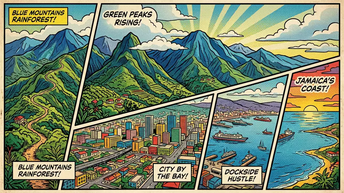
East of Kingston a long ridge known as the Blue Mountains climbs to Blue Mountain Peak, Jamaica’s highest summit at 2,256 m (7,402 ft), forming a steep, forested backdrop to the capital and its coastal plain.
A mountain range shaping eastern Jamaica
The Blue Mountains form the longest continuous mountain range on the island, running across the eastern parishes and separating Kingston’s urban basin from the Caribbean Sea to the north and east.range in eastern Jamaica The ridge extends for about 50 km (30 miles) from the hills near Stony Hill, just north of Kingston, towards the coast, rising steadily into narrow, folded slopes cut by deep river valleys.extends for about 30 miles
Blue Mountain Peak marks the highest point of the range, with its summit at 2,256 m (7,402 ft), a height that places the Blue Mountains among the loftiest terrain in the Caribbean region.Blue Mountain Peak at 2,256 m From the upper slopes, hikers can look out over several parishes including Kingston and St Andrew on the southern side and St Thomas, Portland and St Mary further east and north, tracing the transition from high ridges to coastal lowlands.view of five parishes
Blue and John Crow Mountains National Park and forest reserve
Much of the range above Kingston lies within Blue and John Crow Mountains National Park, Jamaica’s only national park and a protected area covering tens of thousands of hectares of steep terrain and primary forest.Jamaica’s only national park The park incorporates the Blue Mountains, the John Crow Mountains further east and the Port Royal Mountains to the west, together accounting for more than four per cent of Jamaica’s land surface and enclosing the island’s highest point.accounts for 4.4% of land surface
Within this protected landscape, the national park authority has laid out hiking trails of more than 15 km (9 miles), including routes from Holywell and Portland Gap towards Blue Mountain Peak, together with designated recreation areas for day visits and cabin stays.over 15 kilometres of hiking trails Above roughly 1,676 m (5,500 ft) the forest is maintained as a reserve where commercial agriculture does not extend, preserving upper slopes as habitat for native birds, butterflies and dense tropical vegetation.area maintained as a Forest Reserve
Coffee slopes and hill villages above Kingston
North of Kingston and south of Port Maria, the mid-elevation slopes of the Blue Mountains carry a patchwork of coffee fields, small holdings and forest where Jamaica Blue Mountain Coffee is grown under a legally defined designation.Jamaican Blue Mountain Coffee Coffee estates in the certified growing region lie between 914 m and 1,676 m (3,000–5,500 ft) in parishes such as Saint Andrew, Saint Thomas, Portland and Saint Mary, sharing steep terrain, mist, regular rainfall and well-drained volcanic soils.coffee grown between 3,000 and 5,500 feet
Hill villages including Irish Town, Hardwar Gap and Mavis Bank sit on the southern flanks within an hour’s drive of Kingston, reached by roads that climb through hairpin bends and past roadside stalls.Irish Town, Hardwar Gap and Mavis Bank From Kingston, access commonly begins at Papine on the city’s eastern side, where the road enters the foothills before branching towards coffee works, trailheads and viewpoints that overlook the capital and the coastal plain far below.accessible from three points
Visiting Blue Mountains: what travellers from Western Europe should know
- The Blue Mountains rise north and east of Kingston, and approach routes from the city generally follow roads through Papine towards hill settlements and trailheads.
- Terrain on the southern slopes is steep, with narrow, twisting mountain roads and footpaths that climb over long stretches, demanding steady walking and confidence on gradients.
- Hill villages such as Irish Town and Mavis Bank lie within the Blue Mountains area, so visits can combine roadside viewpoints with short walks or longer hikes on established trails.
- The official language is English and the currency is the Jamaican dollar.
- Entry requirements depend on your nationality; UK travellers can check the FCDO travel advice at gov.uk/foreign-travel-advice, Irish travellers the Department of Foreign Affairs at ireland.ie.
Searching for Blue Mountains on social platforms
These links open searches for Blue Mountains on each platform.Frequently asked questions about Blue Mountains
Where are the Blue Mountains in relation to Kingston?
The Blue Mountains rise to the north and east of Kingston, beginning near Stony Hill and extending towards the Caribbean coast in eastern Jamaica.
What should visitors expect on a trip into the Blue Mountains?
Visitors encounter steep, green slopes, narrow mountain roads, forested valleys and the option of marked hiking trails leading towards viewpoints and higher ridges.
What makes the Blue Mountains distinctive among Jamaica’s landscapes?
The range combines Jamaica’s highest summit, protected forest within a national park and mid-elevation slopes that support Jamaica Blue Mountain Coffee estates.


