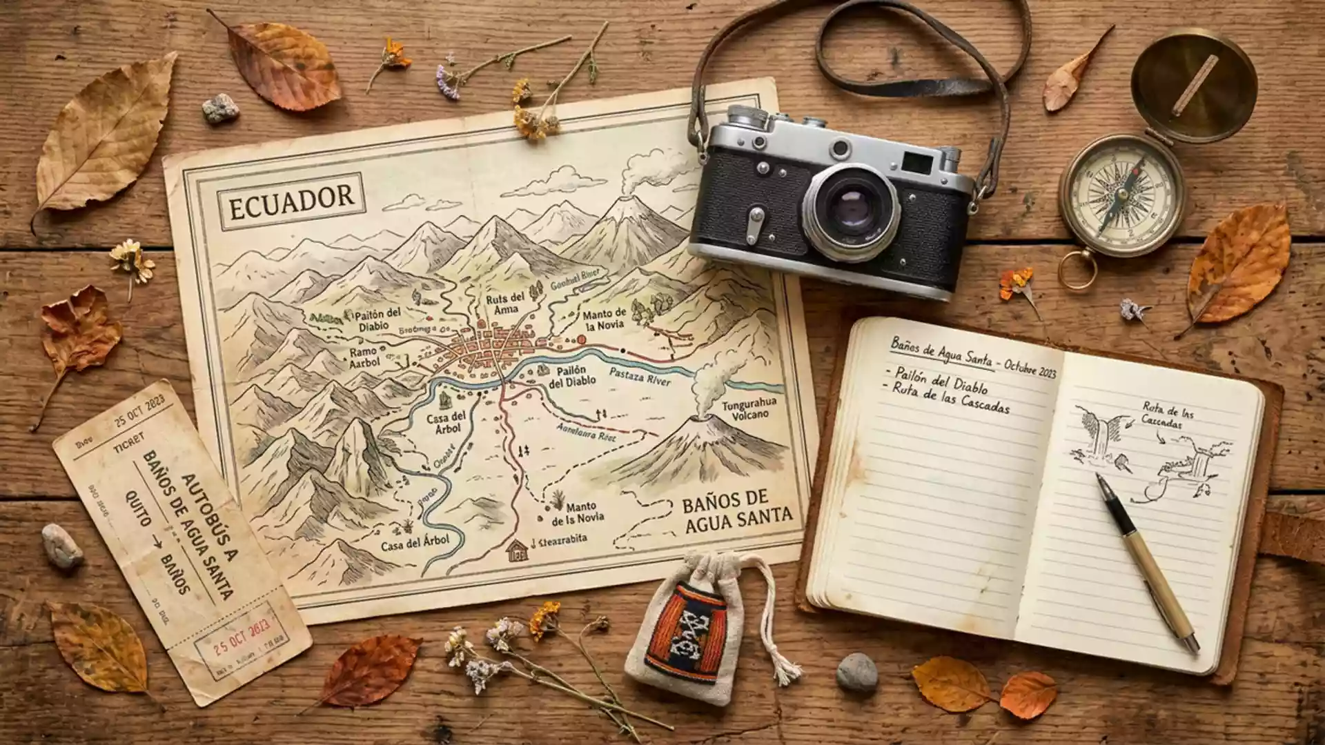
Banos de Agua Santa between volcano, hot springs and waterfalls
Published on 09/03/2026 at 17:50 | Editorial responsibility: Rafael Müller, Editor-in-Chief AD HOC NEWS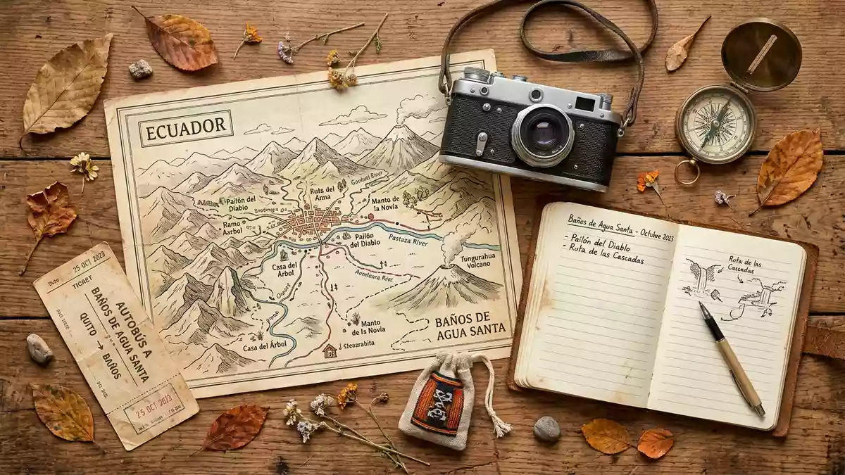
Banos de Agua Santa in central Ecuador is a small Andean town where volcanic hot springs, steep green slopes and deep waterfall gorges sit within walking distance of one another. The town, commonly known simply as Banos, lies in Tungurahua Province beneath the northern foothills of the active Tungurahua volcano, and its name refers directly to the thermal baths fed by geothermal water rising from the volcanic system.Baños de Agua Santa
Hot springs and “holy water” in the shadow of Tungurahua
The defining feature of Banos de Agua Santa is the cluster of thermal baths that gave the town its full name, “Baths of Holy Water”, a reference to both mineral-rich sources and longstanding healing traditions around them.Baths of Sacred Water Several complexes use water heated within the volcanic system, with municipal bath houses such as Termas de la Virgen positioned directly below the Cabellera de la Virgen waterfall in the centre of Banos.Termas de la Virgen Antigua
The springs vary in temperature and mineral composition, creating pools where water can appear yellowish or cloudy depending on dissolved minerals.hot springs complexes Within walking distance of the main square, several facilities offer a series of basins at different temperatures, along with cold plunge pools fed by the nearby waterfalls. Bathing traditions extend back before the Spanish conquest, and the association between the water and healing remains part of the town’s identity.
Waterfall routes and the Pastaza River gorge
Beyond the baths, Banos de Agua Santa is shaped by water draining off the Andes towards the Amazon basin, forming numerous waterfalls and river gorges around the town. A road known as the Ruta de las Cascadas follows the Pastaza River eastwards from Banos through a narrowing valley, passing several major waterfalls before reaching the lowlands near Puyo.Ruta de las Cascadas road Along this route, waterfalls such as Pailon del Diablo on the Rio Verde drop into a confined canyon where walkways and viewing platforms bring visitors close to the falling water.Pailón del Diablo waterfall
Closer to town, smaller cascades including Manto de la Novia and the Virgen de Agua Santa waterfall are visible from the valley roads and viewpoints.nearby waterfalls The combination of steep slopes, narrow riverbeds and constant water flow gives the surrounding landscape a layered character, with bridges, tunnels and minor roads threading between rock faces and cultivated terraces. For many visitors, following the waterfall route by road or path is the clearest way to understand how Banos sits between the Andes and the fringe of the Amazon basin.
A compact Andean town at the foot of a volcano
Urban Banos de Agua Santa occupies a relatively small area on a ledge above the Pastaza River, with streets laid out in a grid that reflects its development as a provincial town rather than a village. The settlement stands at an elevation of around 1,749 m (5,738 ft), giving it a climate that combines Andean conditions with humid influences from the lower Amazon basin to the east.city-base elevation On clear days the slopes of Tungurahua rise above the town, emphasising the link between the volcanic system and the hot springs that underpin the local bathing culture.town beneath Tungurahua
Within this compact setting, churches, bath complexes, markets and small hotels cluster along streets that lead outwards towards rural parishes and the main highway. The Basilica dedicated to Nuestra Señora del Rosario de Agua Santa stands as a focal church, and religious traditions around the Virgin intersect with the town’s reputation for healing water.Basilica in Baños At the edges of the built-up area, the grid gives way to steep paths, fields and forest, where viewpoints such as the Casa del Árbol offer framed views back towards the town and the surrounding valleys.Casa del Árbol viewpoint
Visiting Banos de Agua Santa: what travellers from Western Europe should know
- Banos de Agua Santa lies in Tungurahua Province in central Ecuador, reachable by road from larger Andean cities such as Ambato and from the direction of Quito.
- The town occupies a ledge above the Pastaza River at around 1,749 m (5,738 ft), with streets rising towards the slopes and footpaths leading into surrounding valleys.
- The terrain around Banos includes steep valley sides, stairways in and around bath complexes, and paths that can be narrow and uneven near waterfalls.
- The official language is Spanish and the currency is the US dollar.
Searching for Banos de Agua Santa on social platforms
These links open searches for Banos de Agua Santa on each platform.Frequently asked questions about Banos de Agua Santa
Where is Banos de Agua Santa located in Ecuador?
Banos de Agua Santa is in Tungurahua Province in central Ecuador, on a ledge above the Pastaza River and beneath the northern slopes of the Tungurahua volcano.
What should visitors expect on a visit to Banos?
Visitors encounter a compact Andean townscape with thermal bath complexes, a basilica, markets, and nearby valleys marked by waterfalls, river gorges and views towards the surrounding mountains.
What makes Banos de Agua Santa distinctive among Ecuadorian towns?
The close relationship between geothermal hot springs, religious traditions around “holy water”, steep waterfall routes and the presence of an active volcano gives Banos de Agua Santa an unusually concentrated mix of landscape and bathing culture.