
Bahia de Samana, where Atlantic and Caribbean meet in a sheltered bay
Published on 09/03/2026 at 13:30 | Editorial responsibility: Rafael Müller, Editor-in-Chief AD HOC NEWS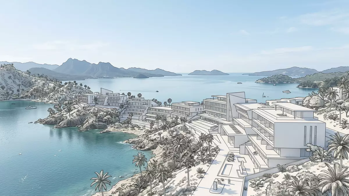
Bahia de Samana, known in English as Samana Bay, is the broad marine inlet on the north?eastern coast of the Dominican Republic where a sheltered expanse of water links the Atlantic Ocean with the Caribbean Sea.Samana Bay in the northeastern Dominican Republic The bay lies beside the town of Santa Bárbara de Samana, with the long Samaná Peninsula forming a natural barrier that shapes a distinct landscape of open water, mangrove shore and low hills.Samaná Bay in the eastern Dominican Republic
The geography of a long Caribbean bay
Bahia de Samana curves along the southern side of the Samaná Peninsula, a forested tongue of land that projects eastwards into the Mona Passage between Hispaniola and Puerto Rico.Bounded on the north by the Samaná Peninsula The bay measures around 65 km (40 miles) from east to west and about 25 km (15 miles) from north to south, giving it an elongated form that reads clearly on any map of the region.Bahía de Samaná in the northeast To the north, the peninsula’s ridge separates the open Atlantic from the calmer bay waters, while to the south low coastal plains lead towards Sabana de la Mar and the interior of the island.Bahia de Samana at the Mona Passage
At the eastern end, Bahia de Samana opens into the Mona Passage, the strait that joins the Atlantic Ocean and the Caribbean Sea and separates the Dominican Republic from Puerto Rico.Bahia de Samana along the Mona Passage Inland, the Yuna River flows into the bay, bringing fresh water from the central part of the island into its eastern reaches, and creating a transition zone of estuary and mangrove where river and sea meet.The Yuna River flows into the bay The combination of peninsula, river mouth and sheltered offshore water has made Bahia de Samana one of the naturally protected anchorages of the Greater Antilles, with deepwater areas lying behind a long chain of land.
Water, islands and mangroves: the landscape within the bay
Looking across Bahia de Samana from the town of Samana, the inner bay appears as a wide sheet of blue water dotted with small islands and backed by green hills rising from the shore.Samana Bay near Santa Bárbara de Samana Among the offshore islets, Cayo Levantado, sometimes nicknamed Bacardí Island, stands out as a compact island with beaches and palms that has become a familiar image associated with the bay.Cayo Levantado in Bahía de Samaná Around the inner shoreline, mangrove stands occupy sheltered coves and river mouths, their roots anchored in the shallow, brackish water that marks the edge between land and sea.
The broader outline of the bay gives it a layered character: outer reaches where the water edges towards the Mona Passage and shipping routes, mid?bay stretches where small islands and deeper channels define the marine space, and inner zones close to Samana where piers, moorings and bridges connect the town with the bay.The broad bay beside Samana The bridge that runs from the mainland out towards small offshore islets has become one of the most recognisable built elements of this landscape, a visible line that stretches over the water and offers perspectives back towards the town and the surrounding hills.Famous bridge over Samana Bay
Bahia de Samana as a sanctuary for humpback whales
Beyond its geography, Bahia de Samana is known as one of the principal winter gathering grounds for North Atlantic humpback whales, which use the bay and its surrounding waters as a breeding and calving area.North Atlantic humpback whales in Samaná Bay Each year, thousands of humpback whales travel from northern feeding grounds towards the warmer waters around the bay, where a designated marine sanctuary protects the animals during the breeding season.Whale nursery in Bahía de Samaná Within this protected zone, whale?watching boats operate under regulated conditions, forming one of the most characteristic activities associated with the bay as visitors observe breaches, tail slaps and other behaviours from a controlled distance.Whale?watching tours from Samana
The presence of humpback whales has fixed Bahia de Samana in the wider map of Caribbean wildlife destinations, with the interface of deep marine channels and sheltered inner water creating conditions that support the animals during a crucial phase of their annual cycle.Bahía de Samaná as breeding ground From the shore and from boats within the designated sanctuary, observers see whales against the backdrop of the peninsula, the Mona Passage and the Dominican Republic’s north?eastern hills, a combination of landforms and marine life that has become emblematic of Samana Province.Humpback whales visible from Samana Bay
Visiting Bahia de Samana: what travellers from Western Europe should know
- Bahia de Samana lies beside Santa Bárbara de Samana on the north?eastern coast of the Dominican Republic, south of the Samaná Peninsula, and is reached by road links from other parts of the island.
- The terrain around the bay combines low coastal plains, short gradients up to forested hills and sections of mangrove shoreline; approaches to viewpoints and piers include stretches on foot and some steps.
- The wider setting includes the Samaná Peninsula to the north, the Mona Passage to the east and the mouth of the Yuna River to the south?west, all of which frame the bay as a distinct geographic unit.
- The official language is Spanish and the currency is the Dominican peso.
- Entry requirements depend on your nationality; UK travellers can check the FCDO travel advice at gov.uk/foreign-travel-advice, Irish travellers the Department of Foreign Affairs at ireland.ie.
Searching for Bahia de Samana on social platforms
These links open searches for Bahia de Samana on each platform.
Frequently asked questions about Bahia de Samana
Where is Bahia de Samana located?
Bahia de Samana is on the north?eastern coast of the Dominican Republic, beside Santa Bárbara de Samana and south of the Samaná Peninsula, opening towards the Mona Passage.
What can visitors expect when they reach the bay?
Visitors encounter a long, sheltered bay with blue water, offshore islands, mangrove shoreline and low hills, with the town of Samana and its piers lying at one end.
What makes Bahia de Samana distinctive among Caribbean bays?
The bay combines a protected geographic setting along the Mona Passage with a recognised humpback whale sanctuary, where thousands of whales gather each year against the backdrop of the Samaná Peninsula.


