
Bahia de Samana and the sheltered bay of north?east Dominican Republic
Published on 08/26/2026 at 21:02 | Editorial responsibility: Rafael Müller, Editor-in-Chief AD HOC NEWS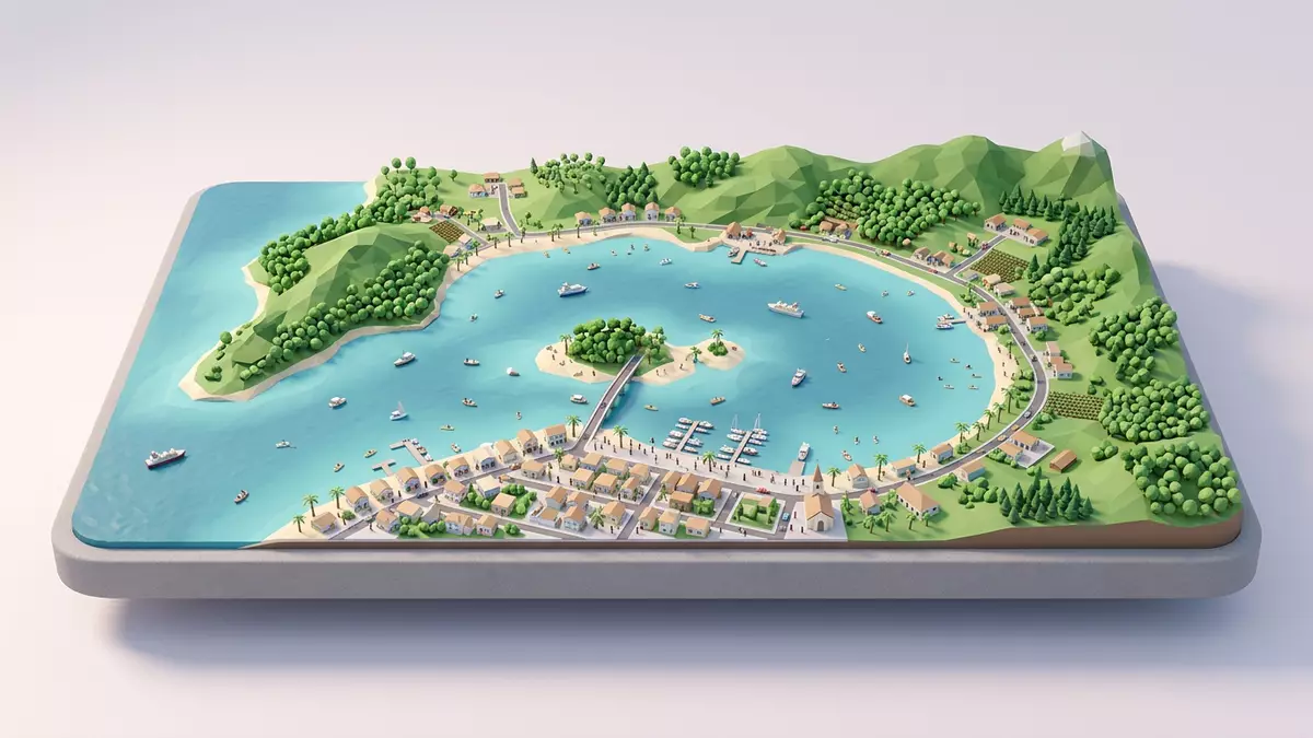
Bahia de Samana, known in English as Samaná Bay, is the broad Caribbean inlet that curves along the north?eastern coast of the Dominican Republic beside the town of Samaná. South of the Samaná Peninsula and opening towards the Mona Passage between Hispaniola and Puerto Rico, the bay forms a sheltered stretch of water where low green hills, mangrove channels and offshore islets shape a distinctive tropical landscape.
A wide Caribbean bay framed by peninsula and plains
Samaná Bay lies in the north?east of the Dominican Republic, south of the Samaná Peninsula and near the town of Santa Bárbara de Samaná, which locals shorten to Samaná.big bay in the northeast The peninsula stretches eastwards into the Atlantic, enclosing the bay and giving its waters a sheltered character compared with the open ocean beyond.bounded on the north by the Samaná Peninsula
From the shore the bay reads as a broad sweep of water framed by low hills and coastal plains, with small islands and headlands breaking the horizon. The Yuna River enters the bay from the west, bringing freshwater from the interior and feeding broad mangrove belts along parts of the southern shoreline.The Yuna River flows into Samaná Bay Out towards the Mona Passage, the open mouth of the bay connects the sheltered interior with the wider Atlantic and the routes towards Puerto Rico.
Islands, mangroves and karst along the water
Parts of the southern shore of Bahia de Samana merge into the protected landscape of Los Haitises National Park, a reserve of limestone hills, mangrove channels and sea inlets.Los Haitises National Park is a protected reserve on the southern edge of Samaná Bay Here the coastline breaks into flooded valleys and dome?shaped mogotes rising directly from shallow water, with patches of humid forest on their flanks.
Scattered through this part of the bay are caves with Taíno petroglyphs and pictographs, traces of Indigenous communities that navigated these waters centuries before European arrival.caves with pre-Columbian pictographs and petroglyphs In between, mangrove forests fringe the channels and river mouths, their roots sunk into the brackish water. Offshore islands and islets serve as nesting grounds for seabirds such as pelicans and frigatebirds, while shallow banks and protected coves give the bay a patchwork of blues and greens under clear weather.
Whales, wildlife and human settlement around the bay
Each year North Atlantic humpback whales migrate into Bahia de Samana to breed and give birth, using the warm, relatively shallow waters as calving and nursery grounds.humpback whales come to Samaná Bay to mate and give birth Conservation organisations describe the bay as a key sanctuary for these whales within the wider North Atlantic, and whale?watching tours operate from harbours around the inner bay.Samaná Bay is the most important sanctuary for humpback whales in the North Atlantic
The same mix of sheltered water and river estuaries that attracts whales also supports other marine and coastal life. Extensive mangrove stands on the southern and western shores provide habitat for fish and crustaceans and shelter for coastal birds, while shrimp fisheries operate in parts of the bay.contains the most extensive mangroves and shrimp fisheries in the country Around the head of the bay, the town of Santa Bárbara de Samaná and smaller settlements line the waterfront with quays, houses, churches and small hotels facing the water, making the bay both a working harbour and a scenic backdrop.
Visiting Bahia de Samana: what travellers from Western Europe should know
- Bahia de Samana lies in the north?eastern Dominican Republic, south of the Samaná Peninsula; access routes converge on the town of Santa Bárbara de Samaná on the bay’s shore.
- Much of the shoreline near Los Haitises National Park is reachable only by boat, with mangrove channels, low limestone hills and sea caves rather than paved waterfront promenades.
- Several small islands and headlands stand within the bay, and viewpoints around Samaná town look out across bridges, moored boats and the wider curve of the coastline.
- The official language is Spanish and the currency is the Dominican peso.
- Entry requirements depend on your nationality; UK travellers can check the FCDO travel advice at gov.uk/foreign-travel-advice, Irish travellers the Department of Foreign Affairs at ireland.ie.
Searching for Bahia de Samana on social platforms
These links open searches for Bahia de Samana on each platform.
Frequently asked questions about Bahia de Samana
Where is Bahia de Samana?
Bahia de Samana, or Samaná Bay, is in the north?eastern Dominican Republic, south of the Samaná Peninsula and beside the town of Santa Bárbara de Samaná.
What can visitors expect around the bay?
Visitors encounter a wide Caribbean bay framed by green hills, mangrove channels, small islands and a working harbourfront in and around Samaná town.
What makes Bahia de Samana distinctive?
The bay combines a sheltered tropical seascape with mangroves, limestone karst, Taíno cave art and one of the North Atlantic’s most significant humpback whale breeding grounds.


