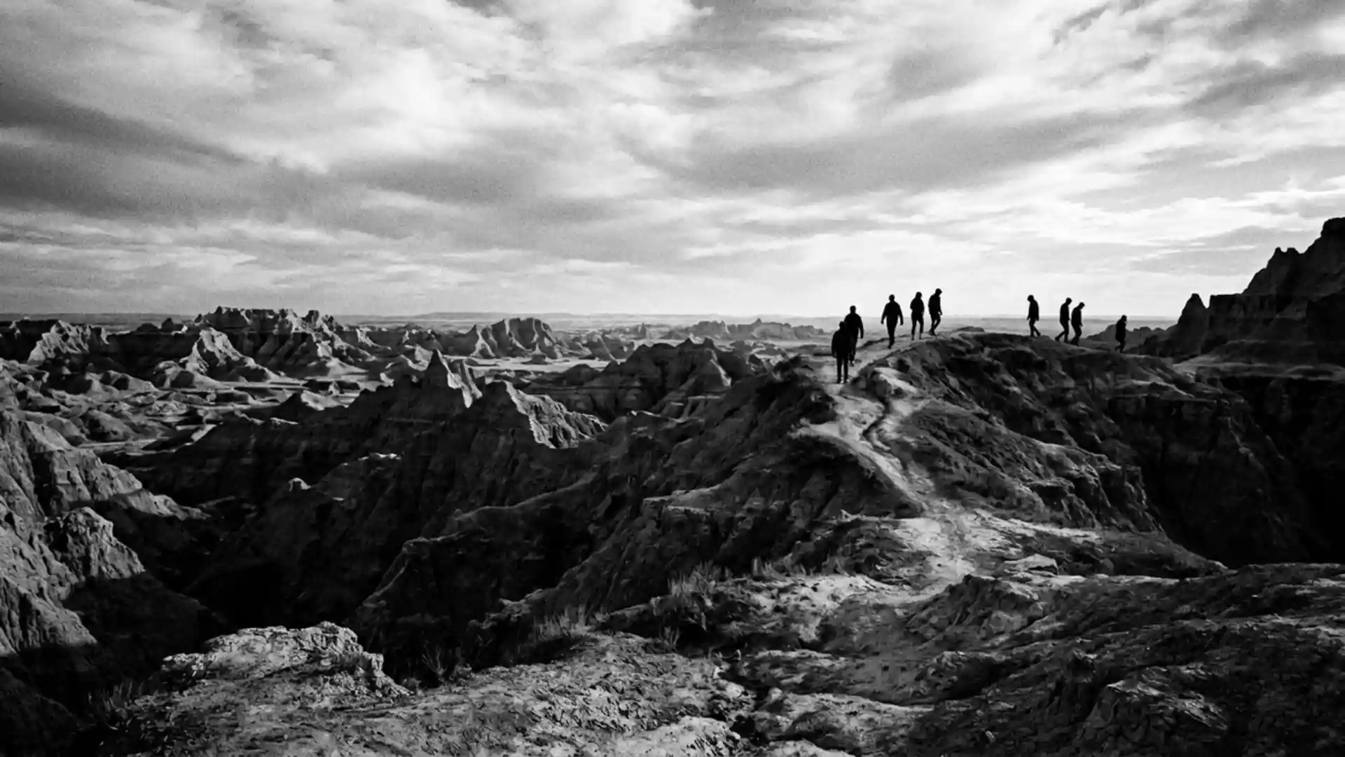
Badlands National Park’s sculpted cliffs and prairie horizons
Published on 08/22/2026 at 14:30 | Editorial responsibility: Rafael Müller, Editor-in-Chief AD HOC NEWS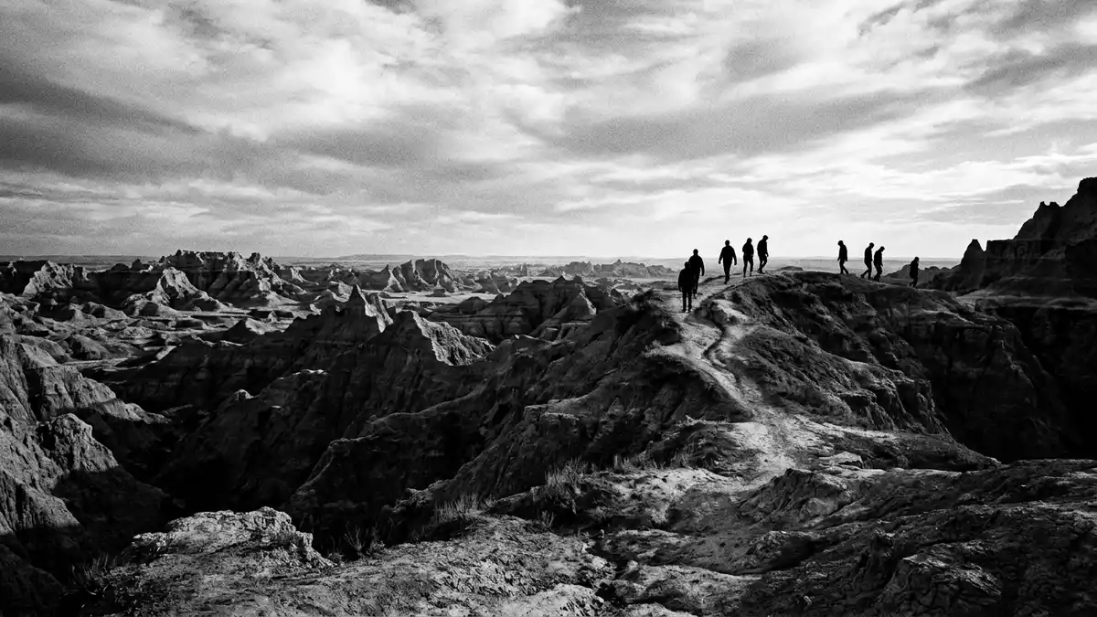
Badlands National Park in South Dakota spreads around the small community of Interior, where bands of eroded rock rise sharply from mixed-grass prairie and expose a long sweep of geological time in a compact landscape. The rocky formations record sediment laid down over tens of millions of years, while the surrounding plains form part of the Great Plains of central North America.
Layers of deep time above the prairie
The most striking feature of Badlands National Park is the way its cliffs, buttes and pinnacles stand above open prairie, with distinct stripes of rock marking different episodes in Earth’s history. The rock record in the park covers roughly the past 75 million years, beginning with marine muds of the Pierre Shale and rising through younger river and floodplain deposits of the White River Group.rock types in the Badlands These layers include sandstones, siltstones, mudstones, claystones, limestones, volcanic ash and shale, each weathering into different colours and textures.
The badlands topography that gives the park its name is carved mainly from the White River Group, a sequence of sediments and fossil-rich soils deposited between about 37 and 23 million years ago.White River Group formations Older marine rocks beneath these deposits formed on the floor of the Western Interior Seaway, a shallow inland sea that once stretched from the Gulf of Mexico to the Arctic Ocean, while younger units at the top of the sequence preserve traces of volcanic ash that fell across the region.
Erosion sculpting buttes, walls and pinnacles
Standing within Badlands National Park, the contrast between the sharp rock forms and the surrounding plains is immediate: steep gullies and narrow ridges cut into the sedimentary layers, sometimes rising abruptly from nearby grassland. Modern erosion is a key force shaping the park’s appearance, as streams and seasonal run-off slice into the soft rocks and create the fretted skyline of buttes, walls and pinnacles. The Cheyenne and White Rivers played a major role in carving this landscape as they cut through the bedrock and drew smaller drainages towards them.colourful sedimentary layers
Many of the formations show clearly separated bands of colour, including mustard tones in the Yellow Mounds that mark a deeply weathered ancient soil, and grey and beige units higher up that record changing climates from subtropical forest to drier savannah.Yellow Mounds and Sharps Formation The soft nature of the rock means that cliffs retreat and gullies deepen over time, renewing the park’s jagged outlines and continually exposing fresh surfaces where visitors can see cross-bedded sands, fine muds and occasional fossil-bearing horizons.
Protection, fossils and the wider Badlands region
Badlands National Park preserves part of a larger badlands region in southwestern South Dakota, a barren area of deeply dissected terrain that extends across thousands of square kilometres between the Cheyenne and White Rivers.badlands region description The park itself traces its protected status to legislation of the twentieth century: it was authorised as Badlands National Monument on 4 March 1929, following an act signed by President Calvin Coolidge, and later redesignated as a national park on 10 November 1978.authorising act of 1929
Within its boundaries, the park contains extensive fossil beds from the Oligocene epoch, preserving mammals that lived between about 23 and 35 million years ago alongside other vertebrates that once inhabited these ancient floodplains.Oligocene fossil beds The combination of eroded rock forms, wide prairie and accessible geology makes Badlands National Park a place where geological history, ecological processes and conservation efforts are closely intertwined in a single, clearly defined landscape.
Visiting Badlands National Park: what travellers from Western Europe should know
- Badlands National Park lies in western South Dakota, with the settlement of Interior near one of its visitor areas and the park reached by road across the Great Plains.
- The terrain alternates between steep, broken ground in the badlands formations and comparatively gentle walking on adjacent prairie, with some paths crossing loose soil and rock.
- Weather conditions can vary markedly between seasons, and exposed viewpoints above the cliffs can feel very open, with limited shade away from the prairie vegetation.
- Within sight of many viewpoints lie the Cheyenne and White River valleys, while mixed-grass prairie ecosystems extend beyond the park boundary into the surrounding plains.
- The official language is English and the currency is the United States dollar. Entry requirements depend on your nationality; UK travellers can check the FCDO travel advice at gov.uk/foreign-travel-advice, Irish travellers the Department of Foreign Affairs at ireland.ie.
Searching for Badlands National Park on social platforms
These links open searches for Badlands National Park on each platform.
Frequently asked questions about Badlands National Park
Where is Badlands National Park located?
Badlands National Park lies in western South Dakota in the United States, with much of the protected area situated near the small settlement of Interior.
What can visitors expect to see on a visit?
Visitors encounter striped cliffs, buttes and pinnacles rising from mixed-grass prairie, along with views over the Cheyenne and White River valleys and access to fossil-rich rock formations.
What makes Badlands National Park distinctive among North American landscapes?
The park combines an accessible cross-section of 75 million years of sedimentary geology with an extensive mixed-grass prairie ecosystem, all contained within a single, clearly bounded badlands region.