Badlands National Park’s layered geology around Interior
Published on 09/09/2026 at 18:17 | Editorial responsibility: Rafael Müller, Editor-in-Chief AD HOC NEWS
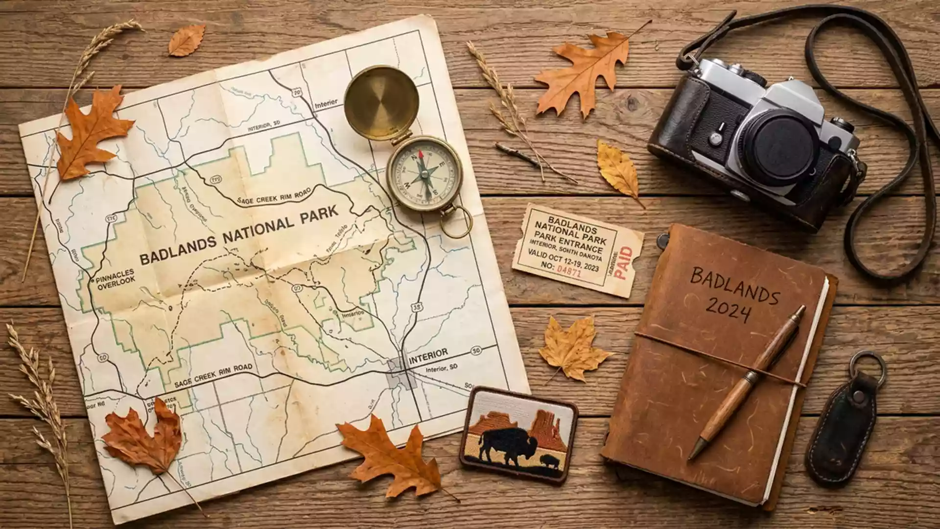
Badlands National Park in South Dakota unfolds around the small community of Interior, presenting a landscape where cliffs, gullies and grassland meet in sharply defined layers of rock and sediment. Established as Badlands National Monument in 1939 and redesignated a national park in 1978, it protects a wide sweep of eroded terrain and mixed-grass prairie that together form one of the most distinctive geological panoramas on the Great Plains.Badlands was established as a National Monument in 1939 and later designated as a National Park in 1978
Layered rock and the making of the Badlands
The core experience of Badlands National Park is the encounter with its layered geology, where bands of different colours trace the slow work of ancient seas and rivers across millions of years. The visible formations belong largely to the White River Group, a sequence of terrestrial sediments deposited during the Tertiary period and exposed across the park in buttes, pinnacles and gullies.Terrestrial sedimentation during the early to mid Tertiary is responsible for the formation of the White River Group Named formations such as the Chamberlain Pass, Chadron, Brule and Sharps record changes from flood plains to savannah and volcanic ash falls, with each layer carrying its own fossil flora and fauna.Named rock subdivisions within the Tertiary White River Group exposed in the park include the Chamberlain Pass, Chadron, Brule and Sharps Formations
Below these Tertiary deposits lie older Cretaceous formations, including the Pierre Shale and Fox Hills Formation, which mark an era when a shallow inland sea covered what is now the Great Plains.The bottom formation is the Pierre Shale, deposited during the Cretaceous Period when a shallow inland sea stretched across what is now the Great Plains The contact between marine mudstones and overlying riverine and ash-rich sediments creates a vertical story in the cliffs, with colours shifting from mustard tones in the weathered Yellow Mounds to grey and beige layers higher up.The Pierre Shale crumbled into soil and created the Yellow Mounds Formation, while later river flood plains and volcanic ash formed the Chadron, Brule and Sharps Formations
Prairie, fossils and the White River Badlands
Badlands National Park combines eroded formations with extensive mixed-grass prairie, creating a contrast between bare rock and resilient vegetation. Erosion has carved the region into spires, hoodoos, buttes and mesas that are known collectively as the White River Badlands, a name that reflects both the harshness of the terrain and its role as a natural archive.Vegetation is sparse and erosion has carved the region into distinctive spires, pinnacles, hoodoos, monuments, buttes, and mesas known collectively as the White River Badlands Between the rock outcrops, grasses and low plants spread across wide flats, showing how life has adapted to thin soils and exposure.
Within the formations, palaeontologists have identified fossil assemblages that track the transition from subtropical forests to drier savannah environments in the late Eocene and Oligocene. The Chadron Formation represents riverine flood plains replacing the inland sea, while the overlying Brule and Sharps Formations record river channels and ash layers associated with changing climates and distant volcanic activity.The Chadron Formation was deposited as a riverine flood plain that replaced the sea, while the Brule and Sharps Formations were deposited by rivers during the Oligocene Epoch These rock units together make the park one of the most informative sites for studying terrestrial ecosystems of the Tertiary period in North America.The geology comprising Badlands National Park is a layer-cake of sedimentary rocks deposited between 28 to 75 million years ago by shallow seas, rivers and wind
From monument to national park around Interior
Badlands National Park lies in southwestern South Dakota, east of the Black Hills and roughly 75 miles east of Rapid City, with the Ben Reifel Road address near Interior acting as a practical reference point for visitors.Badlands National Park, located in South Dakota, is situated roughly 75 miles east of Rapid City The protected area extends across Jackson, Oglala Lakota and Pennington counties, covering about 244,000 acres of eroded badlands and surrounding prairie.Located in southwestern South Dakota, Badlands National Park consists of 244,000 acres of sharply eroded buttes, pinnacles, and spires blended with protected mixed grass prairie Its status within the National Park System ties it formally to the United States Department of the Interior, which oversees hundreds of conservation units across the country.Badlands National Park is part of the National Park Service within the Department of the Interior
The legislative foundation for the park dates back to 4 March 1929, when Public Law No. 1021 authorised Badlands National Monument on an area of just over 50,830 acres.The act authorising Badlands National Monument was approved on 4 March 1929 and included 50,830.40 acres Subsequent proclamations adjusted its boundaries and acreage, and on 10 November 1978 the designation shifted from monument to national park, reflecting an expanded role in conserving both geology and prairie ecosystems.Badlands was authorised by Congress in 1929, proclaimed a national monument in 1939 and redesignated a national park on 10 November 1978 For travellers from Western Europe, the combination of eroded rock, open grassland and a clear legislative history offers a concentrated view of how protected landscapes have developed in the United States.
Visiting Badlands National Park: what travellers from Western Europe should know
- Badlands National Park lies in southwestern South Dakota, east of the Black Hills, with road access from Interstate 90 and South Dakota Highway 44 leading towards Interior and the Ben Reifel Road area.
- The terrain within the park is heavily eroded, with steep slopes, loose sediment and exposed rock; many viewpoints and trails involve walking on uneven ground and climbing short, sometimes narrow paths.
- Grassland areas around the badlands formations sit at prairie elevations typical of the western Great Plains, and viewpoints often stand above surrounding flats, giving open horizons and long sightlines.
- Nearby, the Black Hills rise to the west, while the White River Badlands formations and mixed-grass prairie occupy the immediate surroundings, creating a landscape where rock outcrops and open grassland are both within view.
- The official language is English and the currency is the United States dollar. Entry requirements depend on your nationality; UK travellers can check the FCDO travel advice at gov.uk/foreign-travel-advice, Irish travellers the Department of Foreign Affairs at ireland.ie.
Searching for Badlands National Park on social platforms
These links open searches for Badlands National Park on each platform.
Frequently asked questions about Badlands National Park
Where is Badlands National Park in relation to Interior?
Badlands National Park lies in southwestern South Dakota, with one of its main access points near Interior along Ben Reifel Road and routes leading south from Interstate 90.
What should travellers expect on a visit to the park?
Travellers encounter eroded cliffs, gullies and buttes formed from layered sedimentary rocks, alongside broad areas of mixed-grass prairie, with walking on uneven, exposed terrain at many viewpoints.
What makes Badlands National Park distinctive among United States parks?
The park combines extensive badlands formations of the White River Group, clear exposures of Cretaceous marine rocks and large areas of protected prairie, offering an unusually comprehensive view of Great Plains geology and ecology.