

Ayeyarwady River curving past the temple plain of Bagan
Published on 08/22/2026 at 18:55 | Editorial responsibility: Rafael Müller, Editor-in-Chief AD HOC NEWS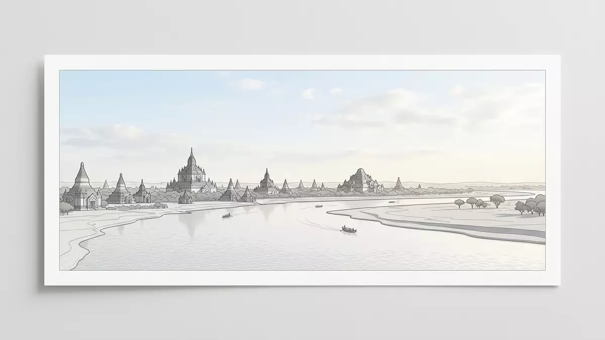
Ayeyarwady River, also known in English as the Irrawaddy River, is the principal river of Myanmar and curves beside the temple plain of Bagan in the country’s central dry zone.principal river of Myanmar At Bagan the waterway and the wide expanse of Buddhist monuments face one another across low terraces, so that river, brick and sky share almost every view.
Central Myanmar’s main river beside Bagan
Ayeyarwady River flows from the confluence of the N’mai and Mali rivers in northern Myanmar and runs south through the country towards the Andaman Sea.flows from the confluence It passes cities such as Mandalay before turning past Bagan and later dispersing into a broad delta on its approach to the sea.dispersing into a broad delta
Bagan itself stands on the eastern bank of Ayeyarwady River in central Myanmar, where the higher ground of the dry zone steps down towards the river in a series of low bluffs and cultivated strips.Bagan occupies the eastern bank Across this margin the Bagan Archaeological Zone stretches for several kilometres, with the old core of Bagan and nearby villages lining the river edge while thousands of pagodas extend inland across the plain.
Water, temples and the dry plain
Seen from the river, the first impression of Bagan is a horizon of brick stupas and tiered temple roofs rising above trees and fields, backed by dry hills further east. The river channel at this point is broad, edged by sandbanks that shift with the monsoon seasons and shape temporary islands and beaches.
Many of the major temples stand close enough to Ayeyarwady River for their upper terraces and spires to catch the light reflected from the water, especially where the ground drops towards the riverbank in short steps. Paths and small roads connect the landing places with the heart of the Bagan Archaeological Zone, so that travel by river and exploration among the monuments join into a single route across water and plain.river beside the temple plain
A river shaped by monsoon and trade
Ayeyarwady River forms the largest and most economically significant river basin in Myanmar, draining a vast area from the highlands near Hkakabo Razi southwards to the delta.largest and most economically significant basin The river’s flow follows a monsoonal rhythm, with high water in the rainy months and much lower levels in the dry season.monsoonal flow pattern
For centuries Ayeyarwady River has served as a trading route, carrying goods and people between river ports along its length and connecting successive capitals such as Bagan, Ava and Mandalay.ancient capitals along the river At Bagan this history reads directly in the landscape, where riverbank villages, cultivated floodplains and long-established temple complexes sit within sight of one another, linked by the slow movement of boats along the main channel.
Visiting Ayeyarwady River: what travellers from Western Europe should know
- Ayeyarwady River reaches Bagan in central Myanmar, with the main settlement and temple areas standing on the eastern bank near Nyaung U and Old Bagan.
- The approach from the river involves simple landing places on the bank and short walks on uneven ground or packed earth paths up from the water to the higher terraces.
- The surrounding landscape forms a dry plain with patches of cultivation and low trees, so shade away from the riverbank and temples can be sparse.
- The official language is Burmese and the currency is the Myanmar kyat.
- Entry requirements depend on your nationality; UK travellers can check the FCDO travel advice at gov.uk/foreign-travel-advice, Irish travellers the Department of Foreign Affairs at ireland.ie.
Searching for Ayeyarwady River on social platforms
These links open searches for Ayeyarwady River on each platform.
Frequently asked questions about Ayeyarwady River
Where is Ayeyarwady River in relation to Bagan?
Ayeyarwady River runs through central Myanmar, and at Bagan the main temple plain and settlements lie on its eastern bank in the country’s dry zone.
What kind of landscape should visitors expect beside the river here?
The river reaches Bagan as a broad channel edged by sandbanks, with low bluffs, cultivated strips and a wide plain scattered with brick stupas and temples.
What makes Ayeyarwady River at Bagan distinctive?
The combination of a major navigable river with an extensive archaeological zone of Buddhist monuments gives Bagan a landscape where water, history and dry plain meet directly.


