

Ayeyarwady River curving past the temple plain of Bagan
Published on 08/21/2026 at 15:05 | Editorial responsibility: Rafael Müller, Editor-in-Chief AD HOC NEWS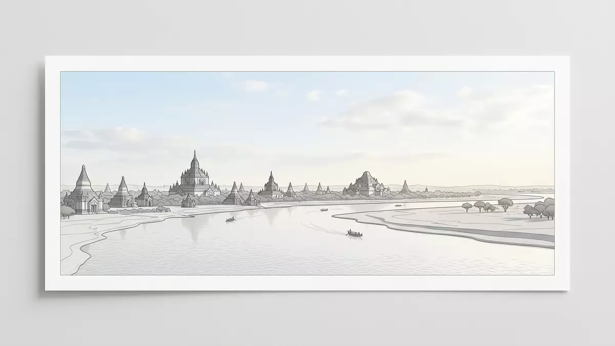
Ayeyarwady River, historically known in English as the Irrawaddy River, flows through central Myanmar and forms a wide bend beside the temple plain of Bagan. Along this reach, the broad waterway and the dense concentration of brick stupas share a single horizon, so that river and monuments read as one landscape rather than two separate sights.
A great river meeting a temple city
Ayeyarwady River is the principal river of Myanmar, flowing roughly north–south through the centre of the country before reaching the sea in a broad delta on the Andaman coast.principal river of Myanmar It begins in Kachin State where the N’mai and Mali rivers meet in the far north, then carries their combined waters through a series of climatic zones towards the lowlands.N’mai and Mali rivers meet
Along its course Ayeyarwady River passes major cities including Myitkyina, Bhamo and Mandalay before reaching Bagan in the country’s central dry zone.flows past major cities Here the river channel widens and swings in a broad curve, so that Bagan’s temple plain occupies the slightly raised ground along the eastern bank while the opposite side remains more sparsely built.a bend in the Ayeyarwady River
Bagan’s temples and the river bend
Bagan lies in the central dry zone of Myanmar on the eastern bank of Ayeyarwady River, where the plains step down towards the water in a series of terraces and low embankments.located on a bend in the Ayeyarwady River The Bagan Archaeological Zone stretches for several kilometres along this river margin, with clusters of pagodas interspersed by fields, small villages and patches of scrubland.Bagan Archaeological Zone
The monuments across this plain belong largely to the Bagan Period of the eleventh to thirteenth centuries, when thousands of Buddhist structures were constructed in brick and plaster across the central Burmese plains.Bagan Period eleventh to thirteenth centuries Many are stupas or temples aligned with the river’s course, so that from Ayeyarwady River the skyline is punctuated by spires and terraces rising above the tree line.
Travelling Ayeyarwady River at Bagan
At Bagan, Ayeyarwady River appears as a broad, slow-moving waterway bordered by low banks and sandy reaches that change with the season.runs from northern Myanmar to the Bay of Bengal Boat landings sit along the eastern bank below Old Bagan and nearby villages, where wooden vessels and other river craft moor against the gently sloping shore.boat landings on the bank
River journeys between Bagan and other towns such as Mandalay follow Ayeyarwady’s main channel through a landscape of sandbanks, cultivated strips and occasional cliff-like bluffs along the banks.river travel in Myanmar From the water, the dense concentration of pagodas across the Bagan plain becomes a continuous band of brick towers, domes and terraces set against the lighter tones of the surrounding fields.river framing the temple plain
Visiting Ayeyarwady River: what travellers from Western Europe should know
- Ayeyarwady River passes the Bagan Archaeological Zone in central Myanmar, with Old Bagan standing on the eastern bank and Nyaung U and New Bagan linked by local roads.
- Access to the riverbank at Bagan is generally via unpaved tracks or simple steps descending from the higher ground, and surfaces near the water can be uneven or sandy.
- The wider Bagan area is relatively flat but boat landings may require walking down sloping paths or short flights of steps between the town level and the river’s edge.
- Nyaung U Airport serves as the main air gateway for Bagan, with road connections leading towards Old Bagan and the stretches of river where local boats operate.
- The official language is Burmese and the currency is the Myanmar kyat. Entry requirements depend on your nationality; UK travellers can check the FCDO travel advice at gov.uk/foreign-travel-advice, Irish travellers the Department of Foreign Affairs at ireland.ie.
Searching for Ayeyarwady River on social platforms
These links open searches for Ayeyarwady River on each platform.Frequently asked questions about Ayeyarwady River
Where is Ayeyarwady River at Bagan?
Ayeyarwady River passes through central Myanmar and at Bagan it forms a bend beside the Bagan Archaeological Zone, with most monuments on the eastern bank.
What should visitors expect when they reach the riverbank?
Visitors encounter a broad waterway, low banks and boat landings reached by simple tracks or steps, with views across the temple plain and surrounding fields.
What makes the stretch of Ayeyarwady River at Bagan distinctive?
This reach is defined by the way the river’s sweeping bend frames thousands of brick pagodas across the dry plains, tying a major waterway to a historic temple landscape.


