
Aoraki / Mount Cook and the alpine world of Mount Cook Village
Published on 09/08/2026 at 19:33 | Editorial responsibility: Rafael Müller, Editor-in-Chief AD HOC NEWS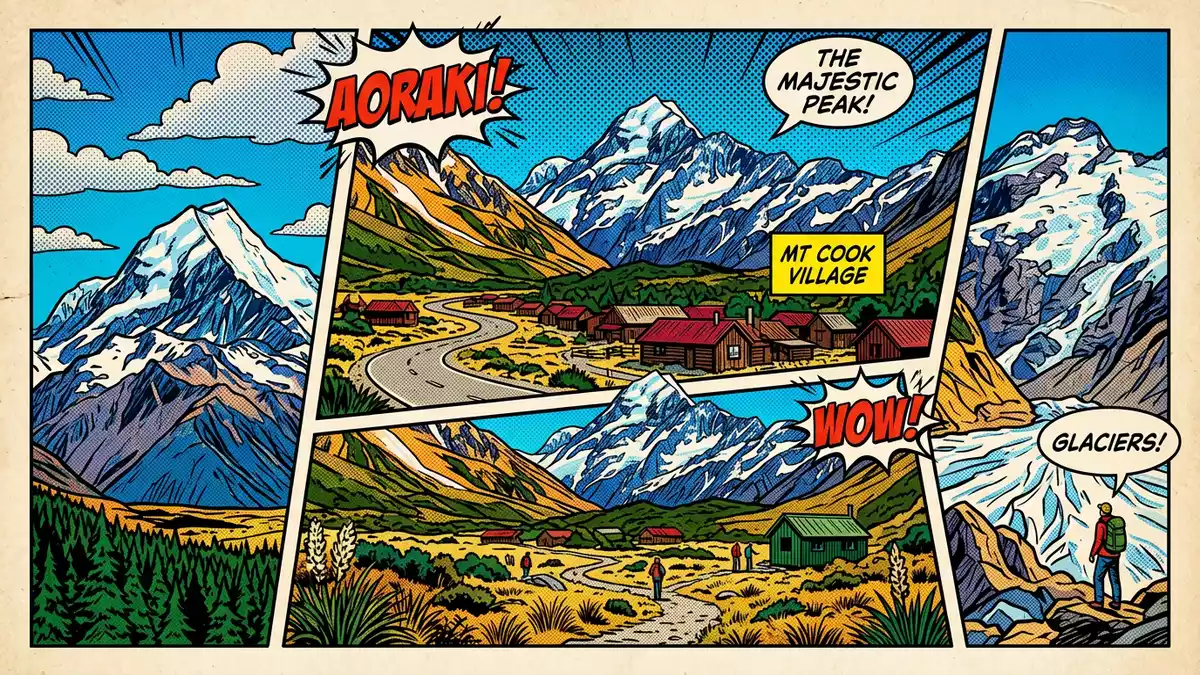
Aoraki / Mount Cook, rising above Mount Cook Village in the Southern Alps of New Zealand’s South Island, is the country’s highest mountain and the centrepiece of an alpine national park where rock, ice and sky meet in a steep, compact landscape.
A mountain of three summits above the Southern Alps valleys
Aoraki / Mount Cook stands on the Main Divide of the Southern Alps, the long mountain chain that runs the length of the South Island and forms a high backbone between the Tasman Sea and the interior basins.Southern Alps The mountain reaches 3,724 m (12,218 ft), an elevation that keeps its upper faces permanently snow-covered and feeds glaciers that spill into neighbouring valleys.3,724 m (12,218 ft)
Rather than a single point, Aoraki / Mount Cook consists of three summits arranged along the ridge: a Low Peak, a Middle Peak and the High Peak that carries the full height figure.three summits The High Peak is framed by neighbouring mountains that also reach over 3,000 m (9,843 ft), setting the summit within a dense cluster of high alpine ridges rather than above an isolated cone.surrounded by high peaks That compact arrangement gives the valleys around Mount Cook Village steep enclosing walls of rock and ice, with glaciers such as the Hooker Glacier to one side and the Tasman Glacier to the other cutting broad, linear trenches through the range.
Aoraki / Mount Cook National Park and the UNESCO alpine landscape
The wider setting for Aoraki / Mount Cook is Aoraki / Mount Cook National Park, an alpine protected area in the Canterbury Region that was established as a national park in 1953.national park established in 1953 The park covers an area of roughly 700 km² (270 mi²), extending along the crest of the Southern Alps and sharing a western boundary with Westland Tai Poutini National Park across the Main Divide.area and neighbouring Westland
Aoraki / Mount Cook National Park forms part of the Te Wahipounamu – South West New Zealand – World Heritage area recognised by UNESCO for its glaciated landscapes and relatively undisturbed ecosystems.Te Wahipounamu World Heritage Glaciers occupy a substantial proportion of the park’s surface, with sources describing around 40 percent of the land as glacier-covered, and ridges carry a concentration of peaks above 3,000 m.glacier cover and high peaks In this setting, Aoraki / Mount Cook rises as the highest point, but the experience on the valley floor is of an alpine corridor framed by multiple summits, icefalls and valley glaciers that descend towards braided rivers.
Mount Cook Village at the end of the highway
Mount Cook Village, officially known as Aoraki / Mount Cook, sits within the national park at the terminus of State Highway 80, which runs north from the Mackenzie Basin past Lake Pukaki into the high glacial valley.Mount Cook Village within the park The settlement lies south of the mountain’s summit, close enough that Aoraki / Mount Cook dominates the skyline from many vantage points, with the highway approaching along a straight corridor flanked by moraines and distant ice.
The village functions as a compact base for excursions into Aoraki / Mount Cook National Park, with buildings gathered on a shelf above the valley floor and access tracks leading out towards viewpoints, huts and glacier basins.starting point for activities From here, travellers encounter alpine terrain in stages: first along formed paths and valley tracks, then by entering steeper ground where rock, snow and glacial ice take over from tussock and scrub.
Visiting Aoraki / Mount Cook: what travellers from Western Europe should know
- Aoraki / Mount Cook and Mount Cook Village are in the central-west part of New Zealand’s South Island in the Canterbury Region, reached by road along State Highway 80 from the Mackenzie Basin towards the Southern Alps.State Highway 80 access
- The surrounding national park is a high-alpine environment with steep valley sides, rocky slopes and glacier-fed rivers; walking in the area involves uneven surfaces and, on some routes, sustained gradients.
- The official language is English and the currency is the New Zealand dollar.
- Entry requirements depend on your nationality; UK travellers can check the FCDO travel advice at gov.uk/foreign-travel-advice, Irish travellers the Department of Foreign Affairs at ireland.ie.
Searching for Aoraki / Mount Cook on social platforms
These links open searches for Aoraki / Mount Cook on each platform.
Frequently asked questions about Aoraki / Mount Cook
Where is Aoraki / Mount Cook and Mount Cook Village located?
Aoraki / Mount Cook rises in the Southern Alps of New Zealand’s South Island, and Mount Cook Village lies within Aoraki / Mount Cook National Park in the Canterbury Region.
What kind of landscape should visitors expect around Aoraki / Mount Cook?
The area around Aoraki / Mount Cook is a high-alpine landscape of steep rock faces, permanent snowfields, valley glaciers and glacial rivers enclosed by multiple peaks above 3,000 m.
What makes Aoraki / Mount Cook distinctive among New Zealand mountains?
Aoraki / Mount Cook is New Zealand’s highest mountain, formed by three summits along a ridge and serving as the dominant peak within an alpine national park that is part of a UNESCO-recognised World Heritage area.


