
Ao Phang Nga and its limestone bay landscape
Published on 09/11/2026 at 07:13 | Editorial responsibility: Rafael Müller, Editor-in-Chief AD HOC NEWS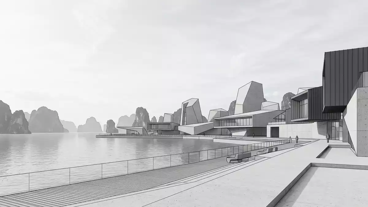
Ao Phang Nga in Phang Nga Province is a marine national park shaped by limestone towers, mangrove edges and sheltered water. It was established in 1981 and covers about 400 square kilometres, with the bay lying in southern Thailand.
Limestone towers above sheltered water
The strongest visual impression at Ao Phang Nga is the steep limestone landscape rising from the sea. The park includes islands with sheer sides, sea caves and overhangs, and it is linked with the name Khao Phing Kan, known in English as James Bond Island.established in 1981
The surrounding water and the forested edges give the bay a layered look, with open channels set against dense coastal growth. Ao Phang Nga is part of a wider Andaman seascape, and the park’s designation as a marine protected area places the bay among Thailand’s formally conserved coastal landscapes.marine protected area
Karst, mangroves and island forms
The bay is often described through its karst topography, a landscape of dissolved limestone that leaves behind towers, caves and cliffs. At Ao Phang Nga, that geology appears in narrow vertical forms that rise directly from water level, with mangroves occupying the lower coastal margins.
The park also protects a broad coastal ecosystem rather than a single viewpoint or monument. Its islands, channels and forested shorelines create a place where rock and water remain closely interwoven, and where the park boundary includes both sea and land.karst landscape
Phang Nga’s marine park in historical context
Ao Phang Nga belongs to the recent history of protected areas in Thailand, with its 1981 designation marking it as a managed marine landscape. The park sits in Phang Nga Province, within a region better known for bays, islands and coastal limestone than for inland monuments.Phang Nga Province
Its identity is not defined by a single building or a compact historic centre, but by an expanse of sea broken by stone. The combination of mangroves, caves and islands gives the park a clear regional character, with the bay functioning as both landscape and protected area.Phang Nga Bay
Visiting Ao Phang Nga: what travellers from Western Europe should know
- Ao Phang Nga lies in Phang Nga Province in southern Thailand. Access is by boat from coastal piers and by road to the mainland edge of the park.
- The landscape is maritime and uneven, with limestone cliffs, islands and mangrove zones. Boat travel is the main way to move between the park’s different parts.
- The official language is Thai and the currency is the baht.
- Entry requirements depend on your nationality; UK travellers can check the FCDO travel advice at gov.uk/foreign-travel-advice, Irish travellers the Department of Foreign Affairs at ireland.ie.
Searching for Ao Phang Nga on social platforms
These links open searches for Ao Phang Nga on each platform.
Frequently asked questions about Ao Phang Nga
Where is Ao Phang Nga?
Ao Phang Nga is in Phang Nga Province in southern Thailand, east of Phuket and within a marine national park.
What should a visit include?
A visit usually centres on the bay itself: limestone islands, mangrove edges and boat travel between the park’s different areas.
What makes Ao Phang Nga distinctive?
Its defining feature is the contrast between vertical limestone forms and low coastal water, with caves and mangroves adding depth to the landscape.


