
Aitutaki Lagoon and the triangular reef ring of the Cook Islands
Published on 09/09/2026 at 08:58 | Editorial responsibility: Rafael Müller, Editor-in-Chief AD HOC NEWS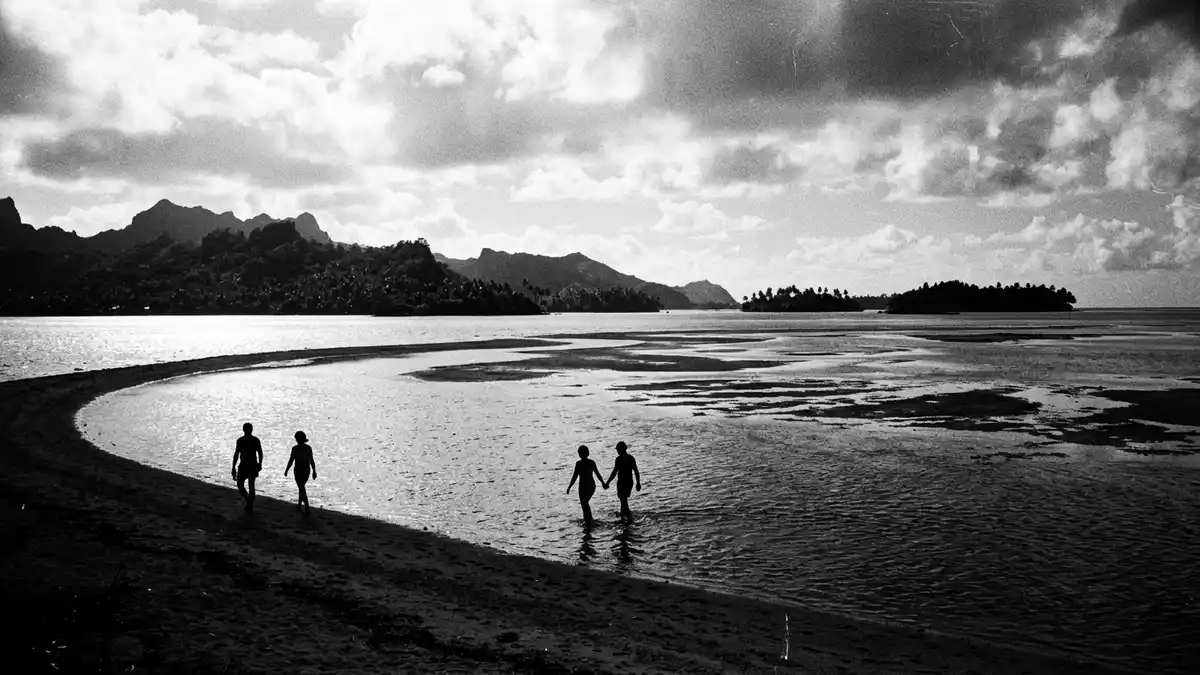
Aitutaki Lagoon is the shallow turquoise basin that almost encircles the island of Aitutaki in the northern Cook Islands, where coral reef and sandy motu form a broad triangle of water around a volcanic core.Aitutaki is described as an almost atoll and its lagoon gives the island one of the most distinctive land–sea outlines in this part of the South Pacific.
The almost-atoll: land, reef and a triangular lagoon
Aitutaki lies in the southern group of the Cook Islands in the South Pacific, northwest of Rarotonga, with a main island of volcanic origin rising on the northern side of a broad, shallow lagoon.The main island, also known as Araura, reaches elevations over 80 m and forms the solid, darker segment of what is otherwise a low coral structure.
Geologists describe Aitutaki as a partly submerged volcanic island with atoll-like features, where a barrier reef and reef flat create a triangular lagoon whose sides stretch for well over 10 km.Research on the lagoon notes its triangular plan interrupted in the north by the main island, while coral-built rims and reef flats trace the remaining sides in the water.
Shallow turquoise waters and motu on the reef rim
The water body known as Aitutaki Lagoon covers an area that clearly exceeds the land footprint of Aitutaki, with published figures clustered around 50 to 66 km² for the lagoon surface.Studies on Aitutaki’s climate and marine setting record lagoon areas of about 66 km² encircled by many kilometres of reef, illustrating how much of the atoll’s total area consists of shallow water rather than solid ground.
Most of Aitutaki Lagoon is relatively shallow, with surveys indicating typical depths of around 5 m and limited pockets reaching close to 10 m (about 33 ft).Hydrographic data from the lagoon describe an average depth near 5 m and a maximum around 10 m within the basin and emphasise that there is no deep natural passage cutting through the reef.
Motu, marine life and views across the lagoon
A ring of low-lying motu sits on the reef rim and reef flat around Aitutaki Lagoon, forming narrow strips of sand and coral rubble where vegetation, seabirds and small structures share the limited land.Surveys of Aitutaki’s reef system list around fifteen small motu around the lagoon’s perimeter, some of which rise slightly where volcanic material emerges and others that remain as pure carbonate islets.
Within the lagoon, carbonate sands and coral heads shape a patchwork underwater landscape, and near the main island, beach sediments show a mixture of volcanic grains and coral fragments.Environmental reports on Aitutaki note that the lagoon and reef deposits are predominantly carbonate while the lagoon beaches on the main island contain significant volcanic sediment, a contrast visible in the darker slopes of Araura against the pale floor of the lagoon when viewed from higher ground.
Visiting Aitutaki Lagoon: what travellers from Western Europe should know
- Aitutaki Lagoon surrounds the island of Aitutaki in the northern Cook Islands in the South Pacific north-west of Rarotonga, and Aitutaki is reached by air links from the main island followed by local transport within the island and lagoon.
- The lagoon basin is shallow and much of its area lies only a few metres below the surface, so boat approaches often cross broad reef flats and sand bars, and access to some motu involves stepping from vessels directly onto beaches.
- The official language is English and Cook Islands M?ori, and the currency is the New Zealand dollar.
- Entry requirements depend on your nationality; UK travellers can check the FCDO travel advice at gov.uk/foreign-travel-advice, Irish travellers the Department of Foreign Affairs at ireland.ie.
Searching for Aitutaki Lagoon on social platforms
These links open searches for Aitutaki Lagoon on each platform.
Frequently asked questions about Aitutaki Lagoon
Where is Aitutaki Lagoon?
Aitutaki Lagoon surrounds the island of Aitutaki in the northern Cook Islands in the South Pacific, with the main island lying northwest of Rarotonga.
What can visitors expect when they see the lagoon?
The lagoon presents a broad, shallow expanse of turquoise water edged by a barrier reef and dotted with low motu, with the darker volcanic island forming one side of the triangle.
What makes Aitutaki Lagoon distinctive among Pacific island lagoons?
Its combination of a volcanic main island with an atoll-like triangular lagoon, shallow depths over tens of square kilometres and a scattered ring of motu gives Aitutaki a clearly recognisable land–sea pattern.


