
Aitutaki Lagoon and its motu ring in the Cook Islands
Published on 08/30/2026 at 12:05 | Editorial responsibility: Rafael Müller, Editor-in-Chief AD HOC NEWS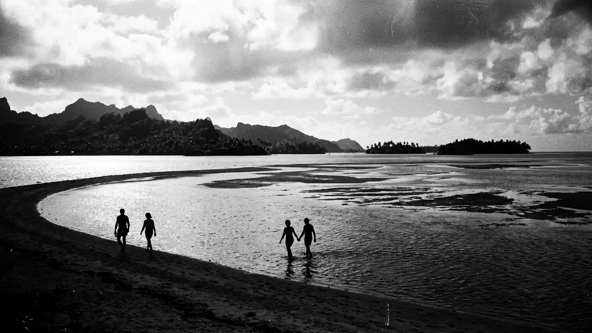
Aitutaki Lagoon is the shallow, turquoise basin that almost encircles the island of Aitutaki in the northern Cook Islands, a Polynesian nation in the South Pacific north-east of Rarotonga. Within its broad sheltered waters, sandy motu and coral reefs frame one of the most distinctive island–lagoon landscapes in this archipelago.
A broad lagoon wrapped around an almost-atoll
Aitutaki itself is described as an almost atoll, with a single main island rising on one side and a lagoon dotted with low islets on the others. The total land area of Aitutaki is a little over 18 km² (6.9 sq mi), while measurements for Aitutaki Lagoon indicate an expanse in the tens of square kilometres, illustrating how the water surface extends far beyond the land footprint.Total land area A fringing coral reef forms a broken ring around the lagoon, enclosing the shallow basin and widening particularly towards the south.A reef encircles the entire island
Most of Aitutaki Lagoon is relatively shallow, with studies indicating that a large share of its area lies in water less than about 4.5 m deep and only limited pockets reaching around 10 m (33 ft).Lagoon depth distribution The lagoon water stretches south and east of the main volcanic island, bounded on the outer edge by the barrier reef and on the inner side by the sandy shoreline of Aitutaki.
Motu, reef flats and the main island
Within the ring of Aitutaki Lagoon, low coral islands and sand bars rise above the water as motu, many carrying lines of coconut palms and narrow beaches. Accounts differ on the precise count of these motu, but descriptions consistently refer to a group of palm-covered islets forming a ring around the lagoon, each separated by channels across the reef flat.Palm-covered motu Some motu are large enough for small settlements or resorts, while others remain simple strips of sand used for day trips.
The main island of Aitutaki occupies the northern part of this almost-atoll, rising gently from lagoon shore to inland hills. The highest point, Maunga Pu, reaches an elevation a little over 100 m (328 ft) above sea level, providing a vantage over the lagoon, the surrounding motu and the outer reef.Maunga Pu elevation From these slopes, the relationship between land and water becomes clear: Aitutaki Lagoon occupies roughly half of the overall atoll area, its shallow bottom forming part of an isolated mid-ocean carbonate platform.Mid-ocean carbonate platform
Water, wildlife and human presence
Aitutaki Lagoon supports a mix of coral formations, sand shallows and deeper channels, with coral heads rising from the lagoon floor in places. Reports from reef surveys describe bommies scattered through the lagoon and nesting seabirds on several of the motu, indicating that the lagoon functions as habitat for marine and bird life as well as a transport route.Lagoon bommies and seabirds The reef edge marks the transition between the sheltered lagoon and the open Pacific, with surf breaking on the outer side.
On the human side, the lagoon forms a setting for villages along the sandy coastline of Aitutaki and for small-scale tourism focused on lagoon trips and stays on outer motu. One named establishment is the Aitutaki Lagoon Private Island Resort, located on Motu Akitua within the lagoon and reached by short boat transfers from the main island.Aitutaki Lagoon Private Island Resort Local boats move between the motu and the main island, using the shallow channels and marked passes across the reef.
Visiting Aitutaki Lagoon: what travellers from Western Europe should know
- Aitutaki Lagoon surrounds the island of Aitutaki in the northern Cook Islands, north-east of Rarotonga in the South Pacific; access involves air travel to Aitutaki followed by local boat transport on the lagoon.
- The lagoon basin is shallow across wide areas, with coral heads and sand bars; walking on reef flats and boarding boats generally involves uneven surfaces and wet footing.
- The motu within Aitutaki Lagoon are low coral and sand islands with beaches and sparse vegetation, so shade and shelter can be limited away from tree lines.
- The official language is English alongside Cook Islands M?ori and the currency is the New Zealand dollar.
- Entry requirements depend on your nationality; UK travellers can check the FCDO travel advice at gov.uk/foreign-travel-advice, Irish travellers the Department of Foreign Affairs at ireland.ie.
Searching for Aitutaki Lagoon on social platforms
These links open searches for Aitutaki Lagoon on each platform.
Frequently asked questions about Aitutaki Lagoon
Where is Aitutaki Lagoon located?
Aitutaki Lagoon surrounds the island of Aitutaki in the northern Cook Islands, in the South Pacific north-east of Rarotonga.
What should visitors expect when exploring the lagoon?
Visitors encounter shallow turquoise water over coral and sand, palm-lined motu, a fringing reef and boat access between the main island and the islets.
What makes Aitutaki Lagoon distinctive among Pacific islands?
The lagoon covers a large area relative to the land, forming an almost-atoll with a ring of motu, a shallow basin and a single main island rising on one side.


