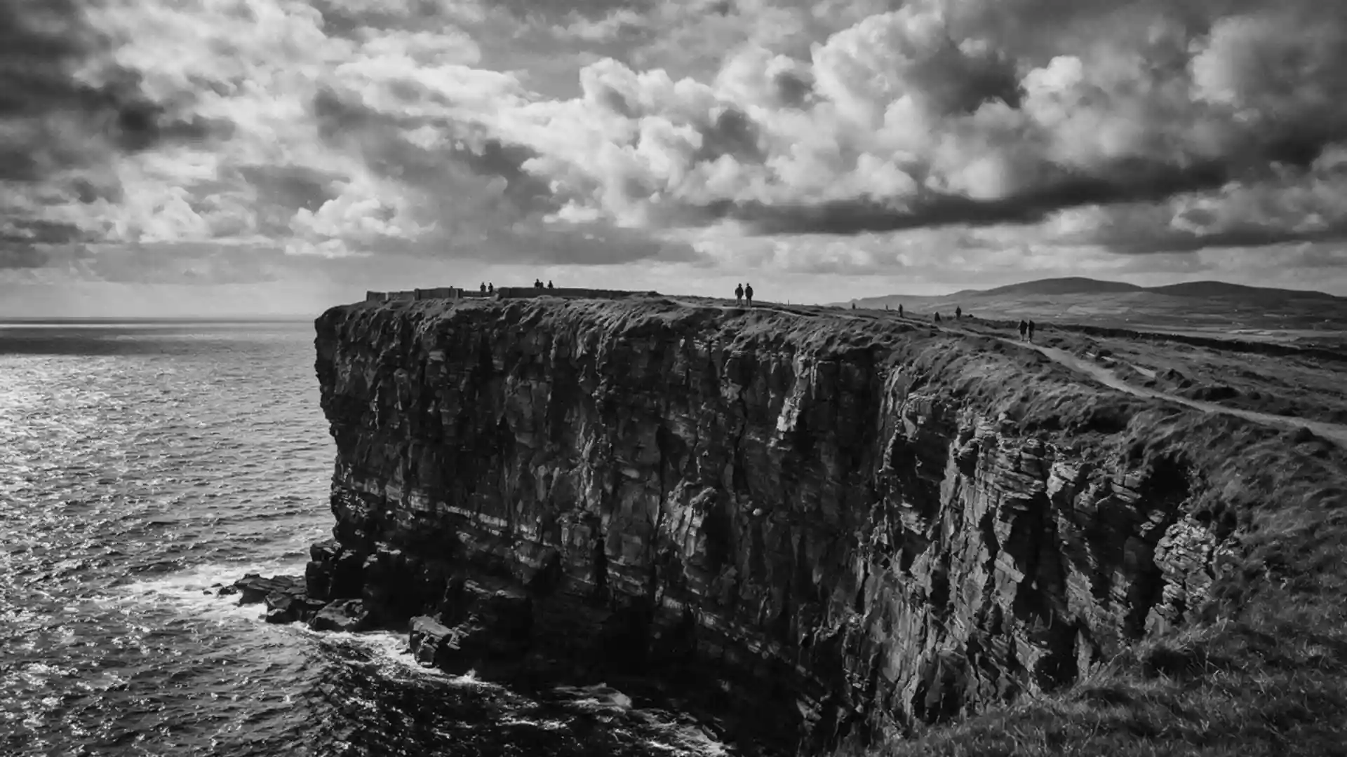
Aillte an Mhothair: sheer Atlantic cliffs above the Burren
Published on 09/03/2026 at 18:49 | Editorial responsibility: Rafael Müller, Editor-in-Chief AD HOC NEWS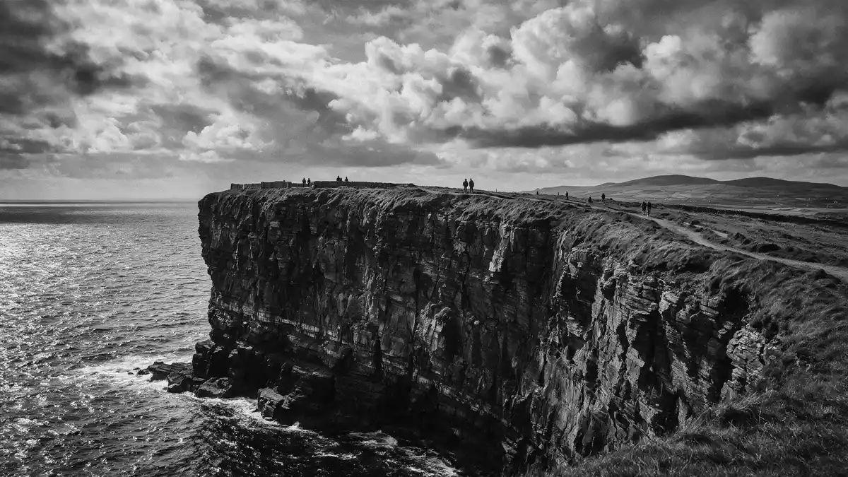
Aillte an Mhothair in County Clare stretches as a long wall of rock above the Atlantic, forming high sea cliffs along the coast near Liscannor and the Burren limestone plateau. Rising to around 214 m (702 ft) near O’Brien’s Tower, these cliffs show layered sandstone and shale faces that record Carboniferous geology on a large scale.
A long Atlantic escarpment of sandstone and shale
Aillte an Mhothair forms a coastal line of cliffs that extends for roughly 14 km (8.7 miles) along the western edge of County Clare between Hag’s Head in the south and the higher northern sections near O’Brien’s Tower.extends for roughly 14 km At the southern end near Hag’s Head, the cliffs rise sharply from the ocean, then gain height towards the central and northern stretches where the rock stands over 200 m (656 ft) above the water.rise over 200 metres above the ocean
The cliff faces expose dark shale and lighter sandstone beds that date to the Carboniferous period, formed in a marine basin hundreds of millions of years ago.beds of Namurian shale and sandstone These sedimentary layers record the repeated deposition of sand, silt and clay in an ancient delta environment, with strata varying from thin bands a few centimetres thick to thicker units several metres deep.up to 200 metres of sedimentary rocks Standing at the cliff edge, the horizontal lines in the rock emphasise the scale of this geological history, running in parallel from one headland to the next.
O’Brien’s Tower and the high point of the cliffs
Near one of the highest points of Aillte an Mhothair stands O’Brien’s Tower, a round stone tower constructed in 1835 by Sir Cornelius O’Brien on the cliff top.built on the cliffs in 1835 The tower occupies a prominent position close to the section where the cliffs reach about 214 m (702 ft) above the Atlantic, making it a reference point along the line of Aillte an Mhothair.maximum height of 214 metres
From the area around O’Brien’s Tower, paths run along the cliff edge with the sea far below and the layered rock visible in the faces on either side.viewing platform near the highest point Looking south, the cliffs step down towards Hag’s Head; looking north, the escarpment continues in stages along the coast, with the repeating sandstone and shale strata forming ledges and recesses in the walls. The tower itself, built in a Victorian style from local stone, stands slightly back from the edge but remains strongly associated with views of the highest part of the cliffs.
Aillte an Mhothair within the Burren and Cliffs of Moher UNESCO Global Geopark
Aillte an Mhothair forms part of the Burren and Cliffs of Moher UNESCO Global Geopark, a recognised geological area that links the marine cliffs with the limestone karst of the Burren inland.Burren and Cliffs of Moher UNESCO Global Geopark Within this Geopark, the cliffs rise more than 150 m (492 ft) above the Atlantic Ocean and display Carboniferous rocks deposited between roughly 323 and 298 million years ago in a shallow tropical sea.deposited between 323 and 298 million years ago
The Geopark framework highlights individual geosites, and Aillte an Mhothair is one of these named locations within County Clare.geosite within the Geopark From the cliff tops above Aillte an Mhothair, the land rises gently towards the Burren plateau, where bare limestone pavements and karst features extend to the north and east.the Burren limestone landscape The combination of high cliffs, exposed sedimentary rock and adjacent karst terrain gives this part of Ireland a distinct geological character that stands out within the wider Atlantic seaboard.
Visiting Aillte an Mhothair: what travellers from Western Europe should know
- Aillte an Mhothair lies on the Atlantic coast of County Clare, west of Liscannor, and is reached by road routes that approach the cliffs from the direction of Ennis and other Clare towns.
- The terrain along the cliff edge includes sections of formed paths on grass and rock, with gradients, steps and cliff-top approaches that require steady footing close to steep drops.
- The Burren and Cliffs of Moher UNESCO Global Geopark surrounds the cliffs, so other geological sites and limestone landscapes lie within driving distance for travellers exploring the wider region.
- The official language is Irish and English and the currency is the euro.
Searching for Aillte an Mhothair on social platforms
These links open searches for Aillte an Mhothair on each platform.
Frequently asked questions about Aillte an Mhothair
Where is Aillte an Mhothair located?
Aillte an Mhothair is on the Atlantic coast of County Clare in Ireland, near the village of Liscannor and at the south-western edge of the Burren region.
What should visitors expect when walking along the cliffs?
Visitors encounter high cliff edges above the Atlantic, formed paths with gradients and steps, and extensive views along sandstone and shale faces that define the coastal escarpment.
What makes Aillte an Mhothair distinctive among Irish coastal landscapes?
The combination of over 200 m (656 ft) high cliffs, clearly stratified Carboniferous rock and the link with the Burren and Cliffs of Moher UNESCO Global Geopark gives Aillte an Mhothair a distinctive geological character.