
Aillte an Mhothair: Atlantic cliffs above the Burren
Published on 08/19/2026 at 21:54 | Editorial responsibility: Rafael Müller, Editor-in-Chief AD HOC NEWS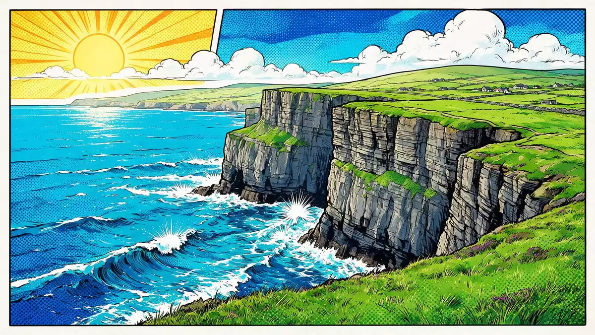
Aillte an Mhothair, the Irish name for the sea cliffs near Liscannor in County Clare, marks a sudden, dramatic boundary where the Burren plateau falls into the Atlantic Ocean. Rising to about 214 m (702 ft) just north of O’Brien’s Tower, these cliffs form an extended wall of rock along Ireland’s west coast and anchor the Burren and Cliffs of Moher UNESCO Global Geopark in the wider limestone landscape.
A long line of cliffs facing the Atlantic
Aillte an Mhothair forms a coastal escarpment that runs for around 14 km (9 miles) along the Atlantic edge of County Clare, from Hag’s Head in the south to points beyond O’Brien’s Tower in the north.runs for around 14 km The cliffs rise from around 120 m (390 ft) above sea level at Hag’s Head and reach their greatest height of about 214 m (702 ft) near the tower, before stepping down in stages along the coast.height of about 214 m
The cliff faces show bands of dark shale and sandstone, part of the Central Clare Group that records deposition in a shallow tropical sea during the Carboniferous period.shale and sandstone Above them lies the Burren, a glacio-karst limestone landscape shaped during the Last Ice Age, where pavement-like slabs and fissures contrast with the vertical profile of Aillte an Mhothair.glacio-karst limestone landscape Standing at the cliff edge, the relationship between the flat Burren upland and the sudden drop to the Atlantic becomes immediately legible in the rock.
Layers of geology and history
The rocks exposed at Aillte an Mhothair date to between roughly 323 and 298 million years ago, when the area lay near the equator and a tropical sea covered what is now County Clare.between roughly 323 and 298 million years ago Repeated cycles of sedimentation produced alternating bands of silty shale and more resistant sandstone, which later erosion carved into ledges, recesses and vertical drops visible in the cliff faces.
Aillte an Mhothair lends its name to the wider Burren and Cliffs of Moher UNESCO Global Geopark, which recognises the geological continuity between the marine cliffs and the inland karst plateau.UNESCO Global Geopark O’Brien’s Tower, a 19th-century stone tower near the highest part of the cliffs, stands close to this maximum height and has become a reference point for views along the line of Aillte an Mhothair.O’Brien’s Tower From the tower area, the cliffs can be seen stepping away towards Hag’s Head in one direction and towards the northern stretches in the other.
Aillte an Mhothair in its wider landscape
The cliffs lie near the village of Liscannor on Ireland’s west coast, with Doolin further north along the shore, and they form the ocean-facing edge of the Burren region in County Clare.edge of the Burren region Inland, the rocky limestone fields of the Burren stretch away from the cliff-top, while offshore the Atlantic extends towards the Aran Islands and the wider ocean.
Aillte an Mhothair is part of a designated geopark that links coastal cliffs, karst pavements, caves and low hills in a single protected area.protected area The combination of vertical cliffs, exposed rock layers and surrounding limestone terrain gives visitors a compact view of several geological processes in one place, from marine sedimentation to glacial scouring on the plateau above.
Visiting Aillte an Mhothair: what travellers from Western Europe should know
- Aillte an Mhothair stands on the Atlantic coast of County Clare, reached by roads from Liscannor and Doolin that connect with wider routes across Ireland.
- The cliff-top paths include sections with gradients and uneven ground close to steep drops, and some areas are exposed to Atlantic weather.
- The surrounding Burren landscape consists of bare limestone pavements with fissures underfoot, which require attention when walking beyond the formal paths.
- The official language is Irish and English is widely used; the currency is the euro.
Searching for Aillte an Mhothair on social platforms
These links open searches for Aillte an Mhothair on each platform.
Frequently asked questions about Aillte an Mhothair
Where is Aillte an Mhothair?
Aillte an Mhothair is on the Atlantic coast of County Clare in western Ireland, near the villages of Liscannor to the south and Doolin to the north.
What should visitors expect on a visit?
Visitors encounter high sea cliffs with paths along the top, views of layered shale and sandstone dropping to the Atlantic, and the wider Burren limestone landscape inland.
What makes Aillte an Mhothair distinctive?
The site combines a long line of cliffs over 200 m (656 ft) high with exposed Carboniferous rock layers and a glacio-karst plateau above, all within a recognised UNESCO Global Geopark.


